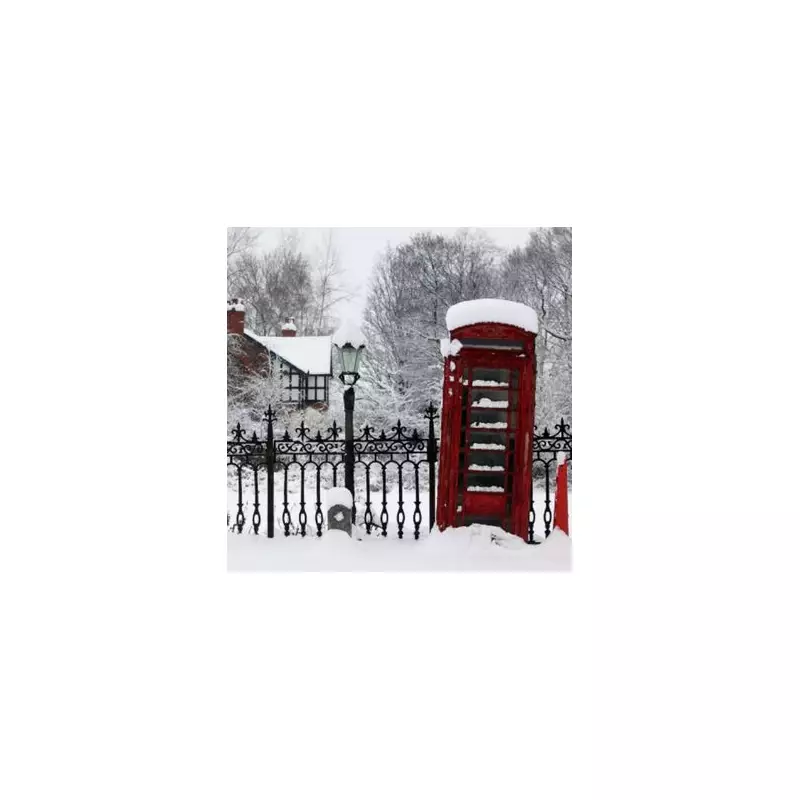
The United Kingdom is preparing for a significant New Year snow bomb, with forecasters predicting temperatures could plummet to a bitter -6 degrees Celsius. Fresh weather data indicates that all four Home Nations—England, Scotland, Wales, and Northern Ireland—are set to be affected by the wintry conditions.
Widespread Snow and Sub-Zero Temperatures Forecast
According to detailed maps and charts from WX Charts, which utilise the GFS advanced modelling system, snow will begin to make its way across the UK by 6am on Wednesday, December 31. The coldest conditions are expected north of the border, with Scotland bearing the brunt. Major cities including Edinburgh, Glasgow, Aberdeen, and Dundee could see the mercury drop to around -6C.
Northern England is also on alert for a severe chill, with temperatures potentially falling to -5C. The advanced modelling highlights eight English counties at particular risk from the freeze:

- Cumbria
- Northumberland
- Durham
- Yorkshire
- Greater Manchester
- Lancashire
- Cheshire
- Staffordshire
Midlands and Southern England Also in the Freeze
The cold snap will not be confined to the north. Modelling suggests that Birmingham and the West Midlands could also shiver in sub-zero conditions from noon until 6pm on New Year's Eve. Rural areas here may experience lows of -5C when the weather is at its most intense.
Further south, regions including Greater London, Kent, Norfolk, Suffolk, and Oxfordshire are forecast to see slightly less extreme, but still notably chilly, temperatures. These areas can expect averages between -2C and -3C.
Met Office Outlook for the New Year Period
The Met Office's forecast for the period spanning December 27 into early January provides context for the cold spell. It states that high pressure is likely to dominate across the UK from the start of this period through to the end of the year.
"This means that weather conditions will be largely settled and for many places it will remain dry," the forecast explains. "It may often be rather cloudy, but any rainfall that does develop is expected to be light with overall accumulations small. Winds will mostly be light with temperatures close to or slightly below normal."
Looking ahead into 2026, the Met Office anticipates little change through the first week of January, with settled and mainly dry conditions continuing for many parts. However, they add a note of caution: "There is a small chance that more unsettled, wetter and milder weather could develop at times, particularly in the north."
This forecast underscores the risk of significant travel disruption as the year turns, with drivers already being warned of dangerous conditions. Residents across the UK are advised to stay updated with the latest local weather warnings and travel advice as the New Year freeze approaches.