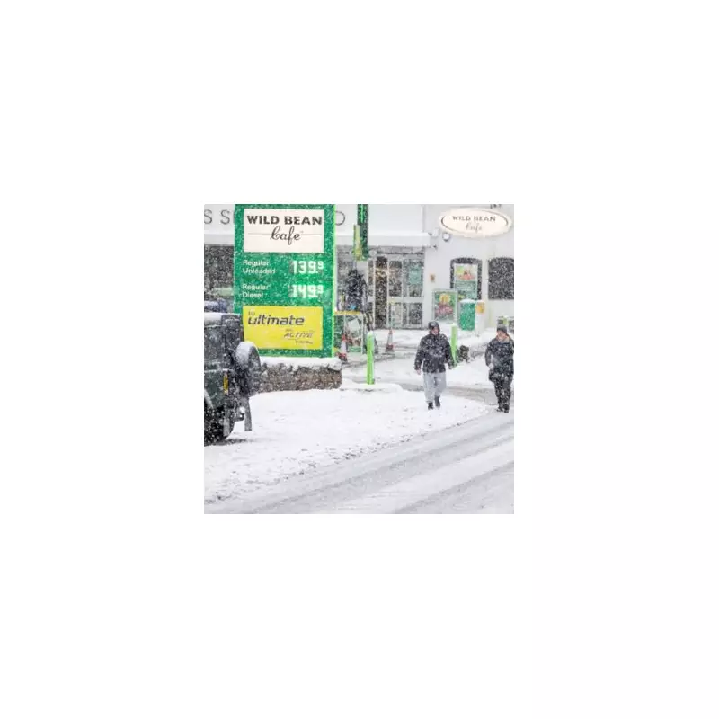
A significant winter storm, dubbed a 'snow bomb', is forecast to strike the United Kingdom later this month, with the exact hour of its arrival now pinpointed by weather models. The severe wintry weather is expected to hit sooner than previously anticipated, bringing heavy snowfall to a vast swathe of the country.
When and Where the Snow Bomb Will Strike
According to data from WX Charts, the fresh wave of snow is projected to arrive from 9pm on Sunday, January 11. This follows an initial bout of snow brought by Storm Goretti on Thursday, January 8, into Friday, January 9. The impending system threatens to hammer as many as 74 counties across England, Scotland, Wales, and Northern Ireland.
Forecast maps for the period have turned purple and white, indicating intense snowfall and potential blizzard conditions. The most intense precipitation is predicted for the North West and West Midlands, which could see snowfall rates of up to 10mm per hour.
Full List of Counties at Risk
Virtually no part of the UK looks set to escape the wintry blast entirely. Based on GFS modelling, the extensive list of areas at risk includes:
England: From Northumberland and Durham down through Yorkshire, Lincolnshire, and across the entire east and south coasts including Norfolk, Suffolk, Essex, Kent, and Sussex. Counties like Hampshire, Dorset, Somerset, London, Surrey, and Gloucestershire are also in the firing line.
Scotland: A long list of regions faces disruption, including Aberdeenshire, Angus, the City of Edinburgh, Dumfries and Galloway, Fife, Glasgow City, Highland, the Orkney and Shetland Islands, and the Scottish Borders.
Wales: The snowfall is expected to be widespread, affecting areas from Anglesey and Gwynedd in the north, through Powys and Ceredigion, to all the southern counties such as Swansea, Cardiff, and the Vale of Glamorgan.
Northern Ireland: Counties including Antrim, Tyrone, and Londonderry are also likely to be hit by the wintry conditions.
Met Office Forecast and Ongoing Uncertainty
The Met Office outlook for the week beginning January 12 highlights significant uncertainty. Their forecast explains that milder Atlantic air will attempt to push against the cold air currently over the UK.
"On balance milder, or at least less cold conditions are likely to make some progress into the country by Monday, bringing a spell of snow for some areas, most likely central and northern parts with rain more likely across the south and west," the forecast states.
It remains uncertain whether these less cold conditions will reach the extreme north and east, where it may stay cold throughout. Further into next week, it is likely to remain cold across the north and east, with these colder conditions possibly extending back across the rest of the country.
Residents across the UK are advised to monitor the latest weather warnings and travel updates as the weekend approaches, with significant disruption possible from this major January snow event.


