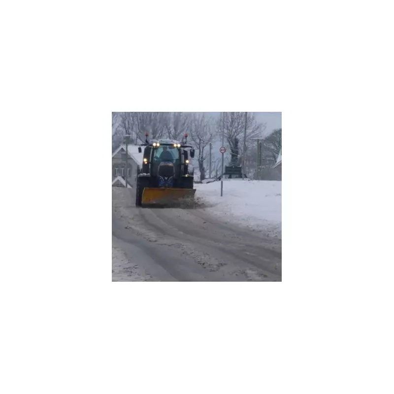
The UK is preparing for a significant winter weather event as forecasters warn of heavy snow accumulations reaching up to 10cm per hour in some regions. The cold snap is expected to begin from 6pm on Friday, November 14th, with northern parts of England joining Scotland and Northern Ireland in facing potential disruption.
Severe Snowfall Predictions
According to senior meteorologist Jim Dale from British Weather Services, snow is likely to arrive by next week and could persist for several days. The most intense period is forecast for November 17th at 12pm, when snowfall rates of 8 to 10cm per hour are predicted over Northern Ireland and southern and central Scotland, including areas south of Edinburgh and Glasgow.
Mr Dale told the Mirror: "Snow is likely incoming by this time next week for the north. It's early days, but from next Friday onwards it could snow for three to four days. Obviously the mountains of Scotland get first pick; but Northern Ireland and parts of northern England are also in the frame."

Weather Models and Projections
The latest maps from WX Charts, which utilise Met Desk data, indicate Scotland could experience up to 5cm of snow per hour during the initial phase of the weather system. These projections are based on the advanced modelling of the GFS system, providing meteorologists with detailed forecasts of the approaching cold spell.
British Weather Services plans to issue a detailed update through their severe weather warning service on Sunday if the forecast conditions remain on track. The service covers one to ten day outlooks, giving communities and transport services advanced notice of potential disruptions.
Extended Cold Period Ahead
Looking further ahead to late November, the BBC Weather team indicates that Monday 17th November to Sunday 23rd November will be "chillier" than average. A change in weather patterns is expected to establish high pressure over Iceland and Greenland, forcing low pressure systems further south.
The BBC forecast explains: "First it will introduce winds from the northerly quarter at times, causing temperatures to come down closer to the November average, and perhaps a little below in parts of the northern UK, especially Scotland."
This pattern change brings two main impacts:
- Lower temperatures, particularly in northern regions
- Reduced rainfall but increased risk of wintry showers
The risk of frost and fog is expected to increase as clearer, calmer nights become more frequent. While precipitation amounts will be below normal in some areas, showers will occasionally stream southwards, particularly across windward regions, with some turning wintry - mainly across Scotland.
Sheltered inland areas of the UK should experience considerable dry weather, though low pressure systems tracking into western Europe might push rain northwards into southern parts of the UK at times.