
Twenty-eight counties across England are poised to avoid snowfall on Tuesday, as the West Midlands region receives confirmation it will escape the wintry blast. The Met Office has activated a series of weather warnings for rain and snow, effective from midnight on Monday, January 26, through to 5pm on Tuesday, January 27.
Counties in the Firing Line for Snow and Rain
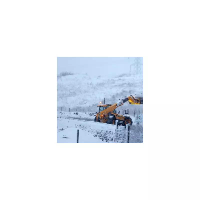
According to the latest meteorological modelling, several northern and central counties are directly in the path of the incoming adverse weather. These areas include Derbyshire, Durham, Northumberland, Cheshire, Cumbria, Greater Manchester, Lancashire, Staffordshire, and Yorkshire. Residents in these regions should prepare for potential disruptions as snowy and wintry conditions are forecast to create dangerous driving scenarios.
Regions Set to Escape the Snowfall
In contrast, a significant portion of England will remain free from snow during this period. The Met Office confirms that the following counties are not expected to experience snowfall: Warwickshire, the West Midlands conurbation (encompassing Birmingham), Leicestershire, Nottinghamshire, Herefordshire, Worcestershire, and Shropshire.

Additionally, the list of spared counties extends to Northamptonshire, Bedfordshire, Buckinghamshire, Hertfordshire, Norfolk, Essex, Cambridgeshire, Oxfordshire, Lincolnshire, Greater London, Wiltshire, Berkshire, Surrey, Kent, Sussex, Somerset, and Gloucestershire. Cornwall, Devon, and Dorset complete the tally of areas set to avoid the white blanket.
Met Office Issues Safety Guidance for Affected Areas
For those counties facing snow and rain warnings, the Met Office has issued crucial safety advice. The agency emphasises that snowy weather can lead to significant delays and hazardous driving conditions. They recommend planning routes carefully, allowing extra time for journeys, and checking for road closures or public transport delays before travelling.
Essential items to keep in your vehicle include:
- Warm clothing and blankets
- Food and water supplies
- A torch and ice scraper or de-icer
- A warning triangle and high-visibility vest
- An in-car phone charger for emergencies
Storm Chandra Intensifies Weather Patterns
Met Office meteorologist Alex Deakin provided further insight into the developing situation, noting the formation of Storm Chandra. This weather system is expected to bring substantial rainfall, particularly to south-west England where ground conditions are already saturated.
Deakin explained, "We have named Storm Chandra which is likely to create some problems for the UK through the night and into Tuesday. It will bring some rain on this line of cloud, with Storm Chandra developing. It's not with us yet - not properly formed - but it will intensify through Monday afternoon."
Temperatures in eastern regions are predicted to remain below average, hovering around 5°C to 6°C. Winds will strengthen across western areas, with rainfall intensifying throughout Monday and into the night. Yellow weather warnings are in place, and an amber warning has been issued for eastern Northern Ireland, where wind speeds could reach up to 75mph.
The combination of heavy rain and already wet ground is expected to create particularly difficult driving conditions during Tuesday morning's rush hour, especially on major motorways like the M5 and M4. The Midlands will experience spreading rainfall accompanied by strong winds, resulting in a muggy and soggy day for residents in affected counties.


