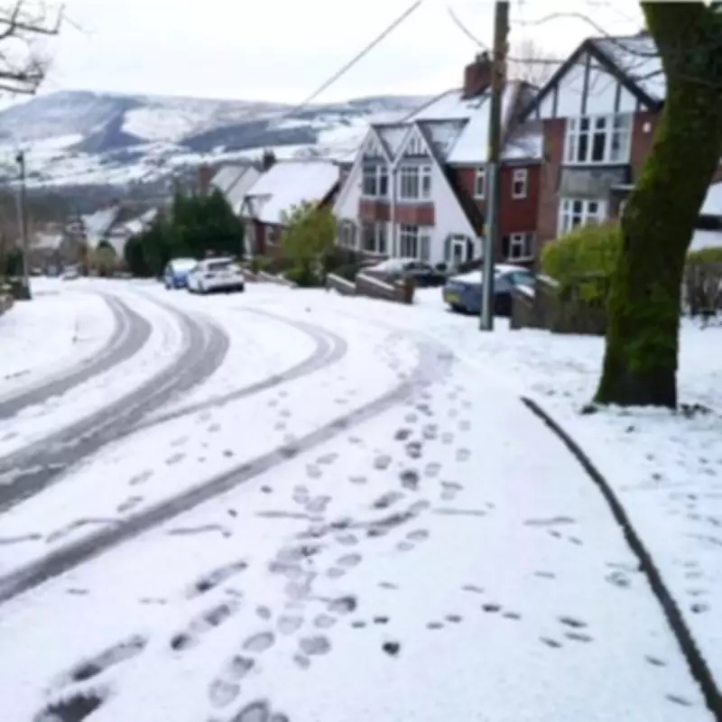
New UK Weather Maps Show 527-Mile Snow Storm to Hit Birmingham
Fresh weather maps indicate that a substantial snow storm spanning an impressive 527 miles could strike Birmingham and the wider United Kingdom within the coming days. According to detailed projections from WX Charts, the snowfall is anticipated to commence its westward movement starting Tuesday, February 17.
Widespread Snowfall Expected Across the UK
By the early hours of Wednesday, February 18, at approximately 3am, the wintry conditions are forecast to spread extensively, with the majority of the UK likely to experience some level of snow accumulation. The latest meteorological data suggests that the snow coverage will extend from Thurso in Scotland all the way down to Winchester in Hampshire, covering a vast distance of around 527 miles.
Only the eastern regions of England and the southwestern parts of the country appear poised to avoid the snowfall entirely. This leaves a significant portion of the nation, including the West Midlands, in the path of the impending winter weather.

Specific Snow Predictions for Birmingham and Surrounding Areas
Birmingham itself is predicted to receive between 3cm and 4cm of snow, which could lead to potential disruptions in daily life and travel. Surrounding areas, notably the Black Country, might see slightly higher accumulations, with estimates reaching up to 6cm of snow. Further west, Wales could experience even more substantial snowfall, with the maps indicating possibilities of up to 10cm in certain locations.
Met Office Long-Range Forecast Details
In its extended forecast covering Wednesday, February 18, through Friday, February 27, the Met Office has provided additional insights. The forecast states: "Showers or longer spells of rain as well as occasional strong winds are most likely as Atlantic low pressure systems dominate in the vicinity of the UK. Some heavy rain is likely in places, with some snow at times in the north, mainly on high ground."
Temperatures during this period are expected to vary, ranging from around average to cold at times, particularly in the northern regions. While unsettled weather is likely to dominate, the Met Office notes that there will be some drier interludes between weather systems. Later in the period, there is a chance that more prolonged drier and settled conditions may begin to develop, offering a respite from the wintery onslaught.
Residents in Birmingham and the affected areas are advised to stay updated with the latest weather warnings and prepare for potential snow-related impacts on transportation and daily activities.