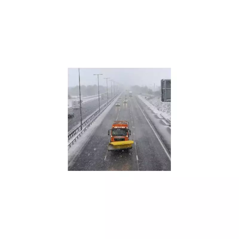
The United Kingdom is preparing for a significant winter weather event as meteorological data indicates a 631-mile snow blizzard is set to impact all four Home Nations. This upgraded forecast shows snow accumulations potentially reaching up to 20 centimetres in some regions, with central Scotland expected to see the highest depths.
Timing and Geographic Scope of the Snow Event
According to the latest projections from WX Charts, which utilise Met Desk data, the snowfall is scheduled to commence at 6am on Tuesday, January 27. The precipitation is anticipated to persist throughout the day, finally easing by approximately 5pm that evening. The geographic reach of this weather system is extensive, spanning from the southern coastline of England all the way to the northernmost parts of Scotland.
Expected Snowfall Accumulations by Region
Forecast models provide detailed predictions for snow depth across various UK locations. In Scotland, Glasgow is expected to receive around 4 centimetres of snow, while Edinburgh could see accumulations of up to 5 centimetres. Meanwhile, northern and eastern areas of England, including Yorkshire, Cumbria, and Northumberland, may experience up to 10 centimetres of snowfall around midday on Tuesday.
Concurrent Amber Rain Warnings and Flood Risks
Alongside the snow threat, the Met Office has issued an amber warning for heavy rain affecting southwestern England. This alert covers substantial portions of south Devon, Dorset, southern Somerset, and southeast Cornwall. These regions could witness widespread rainfall of 30-50 millimetres, with higher ground areas like south Dartmoor potentially receiving 60-80 millimetres.
Jo Farrow, a meteorologist from Netweather TV, explained the atmospheric conditions driving this severe weather pattern. "Storm Chandra will bring heavy rain to the UK. Deep North American cold has powered up the jetstream to deepen this low," Farrow stated, adding concerns about "flooding for the UK, with strong winds and northern hill snow."
Environment Agency Flood Preparedness Measures
Chris Wilding, the Flood Duty Manager at the Environment Agency, has highlighted the significant flooding risks associated with Storm Chandra. "Due to the arrival of Storm Chandra, significant surface water flooding impacts are probable today and tomorrow in the south west of England, and tomorrow there is a significant risk of river flooding impacts too," Wilding cautioned.
He further noted that "elsewhere, it is possible that there will be impacts across parts of the north, south and south east of England tomorrow." Environment Agency teams are actively deployed across affected regions, implementing measures to mitigate flood damage and support vulnerable communities.
Wilding issued a crucial safety reminder to motorists: "We urge people not to drive through flood water – it is often deeper than it looks and just 30 centimetres of flowing water is enough to float your car." This warning underscores the dangerous conditions that can accompany such severe weather events, where visibility and road surface conditions deteriorate rapidly.


