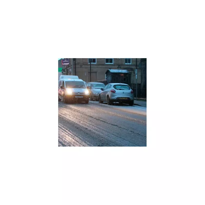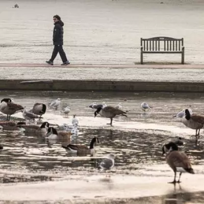
The Met Office has triggered a major winter weather crisis, issuing a rare amber snow warning set to last for 18 hours across parts of England. This significant alert highlights the first major cold snap of the season, bringing potentially disruptive snowfall and hazardous conditions.
Amber Warning: Critical Details and Timeline
An amber weather warning for snow will come into force at 3am on Thursday, November 20, and remain active until 9pm the same evening. This alert specifically targets North East England, covering the local authorities of Redcar and Cleveland, East Riding of Yorkshire, and North Yorkshire.
The Met Office warns that frequent wintry showers will push inland from the North Sea, leading to substantial snow accumulations over the North York Moors and parts of the Yorkshire Wolds. By the end of Thursday, higher ground above 100m could see a staggering 15-25 cm of snow.
Potential Hazards and Widespread Impacts
This is not just a standard snow event. The forecast includes gusty winds that may create occasional blizzard conditions and even a few lightning strikes. The Met Office has issued a stark warning that there is a good chance some rural communities could become cut off entirely.
Residents are being advised to prepare for likely travel disruption on roads and possibly railways, alongside the potential for power cuts. The combination of heavy snow and strong winds creates a high-risk scenario for the affected regions.
Broader Yellow Warning for Snow and Ice
Beyond the amber alert, a broader yellow warning for snow and ice is also in effect for the East of England, encompassing Norfolk and Suffolk. This warning commenced at 5pm on Wednesday, November 19, and will last until 11am on Thursday.
Within this zone, 1-2 cm of snow per hour is expected in some places, with a risk of settling as temperatures plummet during the evening. The public is urged to be cautious of ice forming on untreated surfaces, creating additional slip hazards.
Met Office Chief Forecaster Neil Armstrong confirmed the cause, stating, "Cold Arctic air from the north is firmly in charge of the UK’s weather, bringing the first notable cold snap of this autumn." He added that while not all areas will see lying snow, accumulations of 2-5 cm are possible where showers are most frequent, with the most severe conditions expected on Wednesday and Thursday.


