
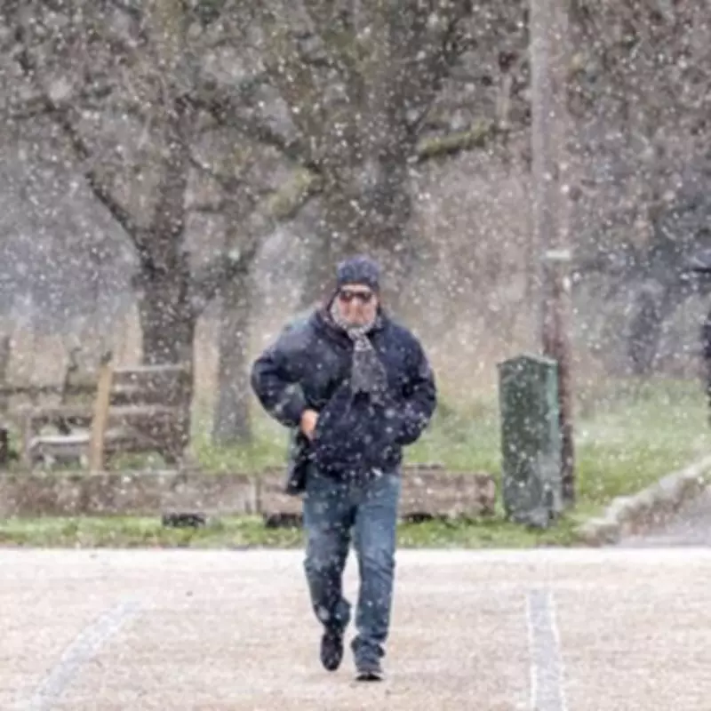
Forecasters have issued an urgent warning that the next significant snow event to impact the United Kingdom could escalate into a full-scale 'Beast from the East' scenario, with the exact date now pinpointed for early February. Meteorological models indicate that a major snow system is poised to strike from February 8, potentially intensifying due to atmospheric conditions reminiscent of the historic 2018 cold spell.
Exact Date and Regional Impact
The Global Forecast System modelling data, visualised through WX Charts, reveals that snow will begin falling across the UK from midnight on February 8. Weather maps display extensive areas of purple shading, indicating heavy snowfall, which is forecast to blanket the Midlands, Wales, northern England, and Scotland. The precipitation is expected to persist into February 9, extending its reach to include Northern Ireland alongside England.
By midnight on February 9, the most intense snow flurries are predicted to concentrate north of the border, affecting three of the four Home Nations simultaneously. In Scotland specifically, southern, central, and north-eastern regions should prepare for continuous snowfall throughout the day.

Snow Accumulation Predictions
Further analysis of snow coverage maps for 3am on February 10 shows settled snow expected across southern England, the Midlands, nearly all of Wales, Northern Ireland, northern England, and Scotland. Snow depth charts suggest particularly significant accumulation in the Scottish Highlands, where forecasts indicate up to 65 centimetres (approximately 26 inches) could settle.
Meteorological Context and Expert Analysis
The upgraded warning comes as meteorologists monitor the increasing likelihood of a Sudden Stratospheric Warming event. Nick Finnis, a forecaster with Netweather TV, has cautioned that such an SSW event appears to be developing on the horizon, which could trigger widespread snow events across the British Isles.
"If a major SSW does occur, we won't know for a while after it occurs how it impacts weather patterns and whether this will then favour cold spells to develop, such as the Beast from the East," Finnis explained.
His colleague Jo Farrow noted the temporary respite following Storm Chandra, commenting: "After Storm Chandra, it is a welcome change to see the sunshine on Wednesday even with a bit of an early nip in the air. There will be some chiller nights this week as colder air from Scandinavia reaches across the North Sea towards NE Britain with a frost in places."
Farrow added: "However milder Atlantic air will try to push in from the southwest. By Friday morning temperatures will be around 7C for the West Country but only 2 or 3C for northeast England as people set off for school and work."
This developing weather pattern represents a significant shift from recent conditions and could potentially disrupt travel, infrastructure, and daily activities across multiple UK regions throughout early February.


