
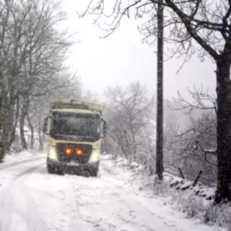
Only Cornwall and Devon to Escape Four-Day UK Snow Bomb
According to the latest weather modelling from WX Charts, the United Kingdom is bracing for a significant snow event expected to last four days, with only two counties in England set to be spared from the wintry blast. The forecast indicates that a substantial snow bomb will impact large swathes of the country, bringing challenging conditions to many regions.
Widespread Snowfall Across England
Maps and charts based on advanced meteorological modelling reveal that extensive areas of England, Scotland, and Wales will be covered in snow during this period. Some parts could see accumulations as deep as 55 centimetres, particularly in northern regions and higher ground. The snowfall is predicted to begin around February 11th, intensify through February 13th, and reach its peak on February 14th.
In England, Birmingham and the West Midlands are among thirty-six counties identified as being at risk of receiving a blanket of snow. Northern England is expected to bear the brunt of the snowfall, with projections suggesting depths of 10 to 12 centimetres in some areas. In contrast, southern regions will likely experience lighter accumulations, with around 6 centimetres forecast for Greater London and the Home Counties.

The Two Counties Set to Miss Out
Remarkably, only two English counties—Cornwall and Devon—are currently expected to avoid the heaviest snowfall entirely. These southwestern regions appear set to be largely spared from the significant snow depths predicted elsewhere. Wales will also be affected, with western and central parts anticipated to receive between 6 and 7 centimetres of snow.
Comprehensive List of Affected Counties
The extensive list of English counties forecast to be impacted by this snow event includes:
- Northumberland, Durham, Cumberland, and Westmorland
- Lancashire, Yorkshire, and Cheshire
- Lincolnshire, Nottinghamshire, Derbyshire, and Staffordshire
- Norfolk, Leicestershire, Rutland, and Shropshire
- Cambridgeshire, Suffolk, Northamptonshire, and Warwickshire
- Herefordshire, Worcestershire, Hertfordshire, and Huntingdonshire
- Gloucestershire, Buckinghamshire, Oxfordshire, and Bedfordshire
- Essex, Wiltshire, Somerset, and Middlesex
- Berkshire, Surrey, Kent, Hampshire, and Sussex
Met Office Forecast for Mid-to-Late February
The Met Office has provided additional context for the broader weather pattern expected during mid-to-late February. Their forecast suggests that frontal systems over the Atlantic, guided by a south-shifted jet stream, are likely to approach the UK periodically. However, these systems may stall as they encounter a blocking area of high pressure to the north and northeast.
This atmospheric setup is expected to result in further spells of rain, particularly in areas already vulnerable to flooding. As these rain bands move northwards, they may encounter colder air, creating the potential for snow in northern England and Scotland, especially over higher terrain.
The Met Office also anticipates a subtle southward shift of low-pressure areas during the second week of February. This shift could allow colder air to spread across more extensive parts of the UK, including southern regions, thereby increasing the risk of wintry hazards for a period.
Residents across the affected counties are advised to stay updated with the latest weather warnings and prepare for potential travel disruptions and cold conditions during this significant snow event.


