
Met Office Issues Yellow Weather Warnings for 23 UK Areas
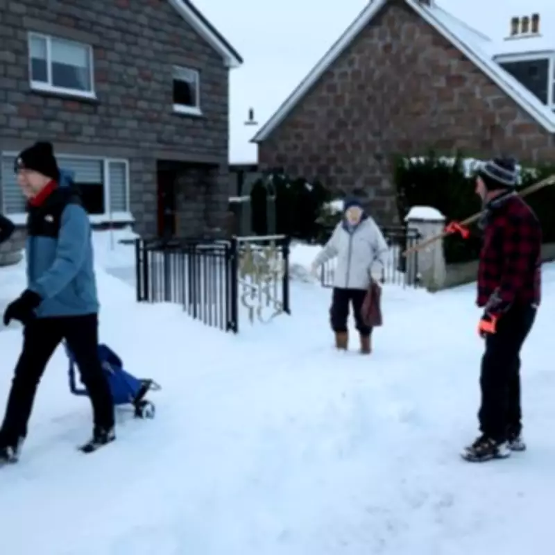
The Met Office has identified twenty-three specific areas across the United Kingdom that are set to face significant weather challenges this Thursday, February 5th. A combination of persistent rain and melting snow is expected to create hazardous conditions, particularly for road users, prompting the issuance of official yellow weather warnings.
Widespread Rain and Melting Snow Forecast
According to the national weather service, spells of rain, which could be heavy at times, are forecast to develop later on Wednesday and persist into Thursday morning. Forecasters anticipate a widespread rainfall of 15-30 mm, with the possibility of 30-40 mm accumulating in some locations. This substantial rainfall, combined with the melting of existing lying snow, raises serious concerns about localised flooding and travel difficulties.
The Met Office outlook specifically notes: "Some melting of lying snow is also likely. Rain will then start to turn to snow above 300 to 400 metres later on Thursday morning." This indicates a complex weather picture where lower-lying areas may contend with rain and meltwater, while higher ground could see a return to snowfall.

Expected Impacts and Travel Disruption
The official warning highlights several key risks that residents and commuters should prepare for:
- Travel Disruption: Bus and train services are likely to be affected, with journey times expected to take longer. Spray and flooding on roads will probably extend travel times for motorists.
- Flooding Risk: Flooding of a few homes and businesses is considered likely.
- Utility Services: Some interruptions to power supplies and other essential services are also anticipated.
The Met Office advises the public to expect potential travel disruption and to exercise caution, especially when driving in the affected regions.
Broader Weather Outlook for the UK
The broader forecast for the UK remains unsettled. The BBC Weather team reports that Wednesday will stay cloudy and breezy, with spells of rain pushing northwards and westwards across the country. This rain may fall heavily at times, with sleet and snow expected on northern hills.
Overnight, conditions will remain cloudy for most, with rain continuing to move into eastern and southern areas. The west may see drier conditions with some clear breaks, while snow persists on northern hills, and breezy conditions continue in the north.
Looking ahead to Thursday, the forecast predicts cloud in the north, with rain moving into eastern areas and turning to snow on the hills. Western areas may experience drier weather with some sunny intervals, while the south remains cloudy with showery rain at times.
Full List of 23 Affected Areas
The Met Office yellow warnings for rain and snow apply to the following twenty-three areas:
- Angus
- Aberdeenshire
- Hampshire
- Isle of Wight
- Portsmouth
- Southampton
- West Sussex
- Bournemouth, Christchurch and Poole
- Cornwall
- Devon
- Dorset
- Plymouth
- Somerset
- Torbay
- Wiltshire
- Blaenau Gwent
- Caerphilly
- Merthyr Tydfil
- Monmouthshire
- Powys
- Rhondda Cynon Taf
- Torfaen
- Herefordshire
Residents in these locations are urged to stay updated with the latest Met Office forecasts and travel advice as the weather situation develops.


