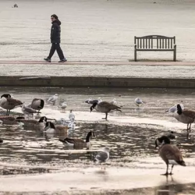
The Met Office has activated a series of severe weather warnings as a cold snap brings snow and ice to large parts of the United Kingdom.
Where and When the Warnings are in Force
Starting from today, Wednesday, November 19, 2025, the national forecaster has delineated six separate warning zones. These consist of five yellow alerts for 'snow and ice' and one more serious amber alert for 'snow'.
The yellow warnings cover a significant portion of the country, including: southwest England, southwest Wales, East Anglia, the northeast of England, northern Scotland, and the entirety of Northern Ireland.
An amber warning, indicating a higher level of disruption, has been issued for a more confined area in the northeast, specifically around Scarborough and the North York Moors National Park.
Timeline of the Wintery Blast
The alerts are staggered throughout the week. The first warnings for southwest England and southwest Wales began at 12pm today (November 19) and will remain in effect until 11.59pm on Thursday, November 20.
Residents in East Anglia should be prepared from 5pm this evening until 11am tomorrow. The broader yellow alert for the northeast starts at 12am tonight, running through to 11.59pm on Thursday.
The most severe amber alert for the northeast is active from 3am until 9pm on Thursday, highlighting the potential for significant snow accumulation and travel disruption in that specific locality.
One Region Set to Escape the Worst
Amid the widespread warnings, one area is forecast to be largely spared from the wintery conditions. The Midlands, including Birmingham, the Black Country and surrounding areas, is expected to avoid the snow and ice impacting other regions.
The Met Office's general forecast for today warns of an icy start for some, with rain and hill snow clearing southeast. The outlook promises drier and brighter conditions later with sunny spells, but also notes frequent wintry showers for areas exposed to the cold northerly wind, which could bring heavy snow in places.
Overnight, blustery snow showers will continue in exposed northern areas, with a widespread frost developing elsewhere. Thursday is expected to be cold for all with sunny spells and wintry showers, particularly affecting some North Sea coasts, before the showers slowly ease during the day.


