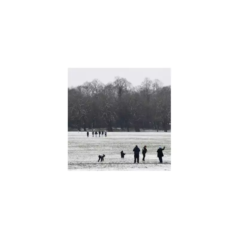
The Met Office has released detailed weather forecasts highlighting the risk of snowfall across various parts of the United Kingdom over a ten-day period. The national weather service has issued two separate forecasts, with the primary one covering the timeframe from January 28th to February 7th, alerting residents to prepare for potential wintry disruptions.
Forecast Details and Affected Areas
In its comprehensive update, the Met Office's meteorologists have identified specific regions where snow is likely to occur. They warn of weather systems moving in from the Atlantic Ocean, which will persistently attempt to push eastwards across the UK. However, these systems may stall near the British Isles as they encounter high-pressure zones to the north and northeast.
The forecast indicates that cold air is expected to be positioned to the northeast, creating conditions conducive to snowfall. This could lead to wintry showers and some snow accumulation in vulnerable areas. The Met Office has explicitly named the following regions as being at risk during this period:
- The south west of England
- The north east of England
- Hills in England
- Hills in Scotland
- Lower areas in Scotland
- Lower areas in England
Longer-Term Weather Patterns
Looking ahead into February, the Met Office anticipates a continuation of similar weather themes. Atlantic frontal systems are expected to periodically attempt to push eastwards, maintaining the potential for unsettled conditions. This pattern suggests that residents should remain vigilant for further updates as the month progresses.
Expert Meteorological Analysis
Netweather TV's meteorologist, Ian Simpson, provided additional context to the forecast. He explained that major cold air outbreaks over Canada and North America are currently helping to power up the jet stream, sending deep low-pressure systems toward the UK. Simpson noted that much of Canada has been under a very cold air mass for an extended period, with this cold air recently moving into the north and east of North America.
Mr Simpson added: "In the current setup, unlike the examples in late January 1984 and early February 1996, cold air hasn't had the opportunity to establish substantially over Britain prior to the lows coming in, hence the result generally being rain except on high ground in the north. It was a very similar story in late January 2014."
He further mentioned that the cold air is forecast to persist in North America for about a week before subsiding considerably, especially over Canada, where temperatures are expected to switch to being warmer than average. This transatlantic weather dynamic plays a crucial role in shaping the conditions experienced across the United Kingdom.
The Met Office advises all residents in the affected areas to stay updated with the latest forecasts and to take necessary precautions for potential travel disruptions and cold weather conditions during this period.


