Met Office Warns of Rare Freezing Rain Phenomenon Across 56 UK Areas
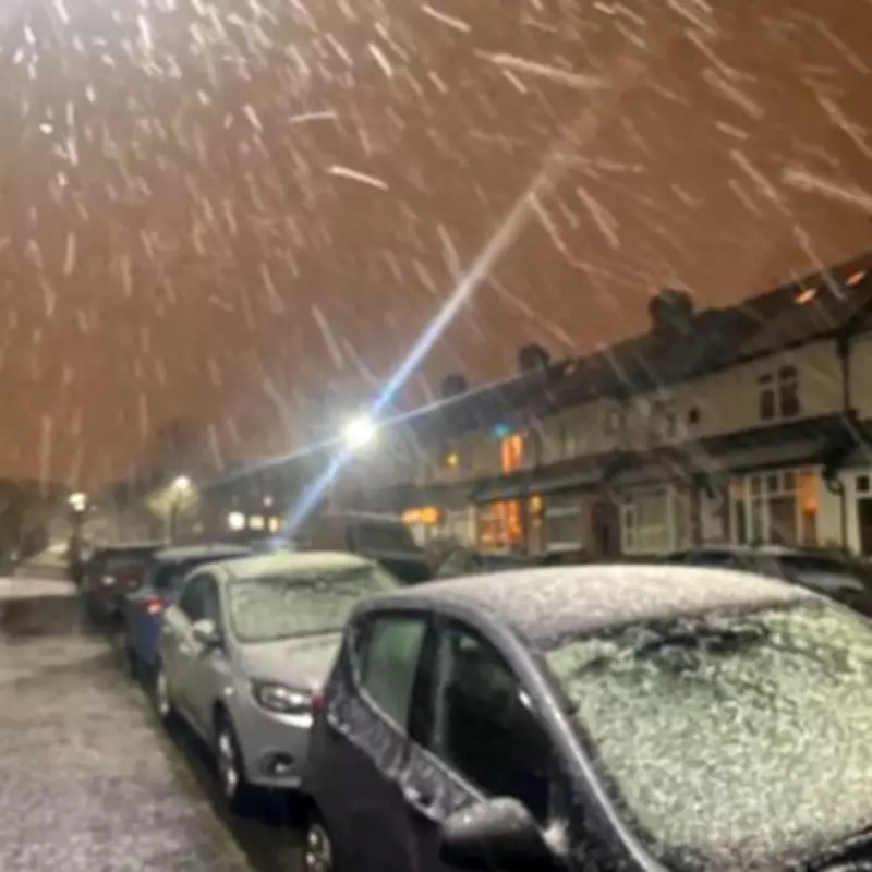
Weather experts have issued a stark warning about a rare and potentially dangerous weather phenomenon expected to impact the United Kingdom this weekend. According to the latest forecast from the Met Office, there is a significant risk of freezing rain occurring on Saturday, February 14, and Sunday, February 15.
What Is Freezing Rain and Why Is It Dangerous?
Freezing rain is a rare type of liquid precipitation that occurs when rain droplets become supercooled as they fall from the sky. These droplets freeze instantly upon contact with cold surfaces, creating a layer of clear ice. Despite its visually striking effects, this phenomenon poses serious hazards.
The Met Office explained: "Freezing rain is a rare type of liquid precipitation that strikes a cold surface, and freezes almost instantly. The conditions needed for freezing rain are quite specific and we don’t see this phenomenon very often in the UK."

The dangers associated with freezing rain include:
- The weight of accumulated ice can be heavy enough to bring down trees and power lines.
- Roads and pathways can become extremely slippery, effectively turning into ice rinks.
- The phenomenon poses significant hazards for aircraft operations.
Weather Warning Details and Forecast
A yellow weather warning for snow and ice will be in effect from 9pm on Saturday, February 14, until 10am on Sunday, February 15. The Met Office forecast indicates that outbreaks of rain spreading eastwards on Saturday night will initially fall as snow, even at low levels, before becoming confined to higher ground as milder air arrives from the west.
Expected snow accumulations include:
- 1-3cm possible at low levels
- 3-7cm possible above approximately 150m elevation
- 10-15cm possible above 400m elevation
The Met Office added: "Ice will be an additional hazard, particularly across northeast England and parts of Scotland where precipitation has the potential to fall on frozen ground leading to very slippery conditions. Snow will turn increasingly to rain into Sunday morning, perhaps as a short spell of freezing rain in places, before eventually clearing to the east with a steady thaw of lying snow then setting in."
Affected Regions and Local Authorities
The weather warning affects 56 specific areas across multiple UK regions. The complete list of affected local authorities includes:
Central, Tayside & Fife: Angus, Clackmannanshire, Dundee, Falkirk, Fife, Perth and Kinross, Stirling
East Midlands: Derby, Derbyshire, Nottingham, Nottinghamshire
Grampian: Aberdeen, Aberdeenshire, Moray
Highlands & Eilean Siar: Highland
North East England: Darlington, Durham, Gateshead, Hartlepool, Middlesbrough, Newcastle upon Tyne, North Tyneside, Northumberland, Redcar and Cleveland, South Tyneside, Stockton-on-Tees, Sunderland
North West England: Blackburn with Darwen, Cheshire East, Cumbria, Greater Manchester, Lancashire
SW Scotland, Lothian Borders: Dumfries and Galloway, East Lothian, Edinburgh, Midlothian Council, Scottish Borders, West Lothian
Strathclyde: Argyll and Bute, East Ayrshire, East Dunbartonshire, East Renfrewshire, Glasgow, Inverclyde, North Ayrshire, North Lanarkshire, Renfrewshire, South Ayrshire, South Lanarkshire, West Dunbartonshire
West Midlands: Staffordshire, Stoke-on-Trent
Yorkshire & Humber: East Riding of Yorkshire, North Yorkshire, South Yorkshire, West Yorkshire
Residents in these areas are advised to exercise caution, prepare for potentially hazardous travel conditions, and stay updated with the latest weather forecasts from the Met Office.