
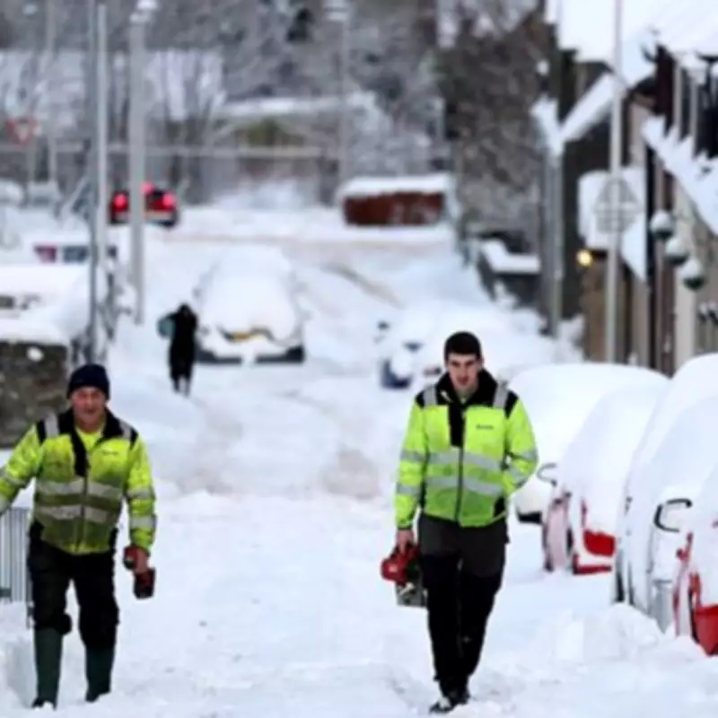
New weather modelling indicates that multiple towns across the Midlands are set to be hit by a significant snow event, with forecasts predicting accumulations of up to fifteen inches in parts of England during February.
Widespread Winter Disruption Forecast
According to detailed maps and charts published by WX Charts, which utilise Met Desk data and the GFS forecasting system, a dramatic downturn in conditions is expected to commence from February 9th. The data suggests that a substantial portion of the country, approximately ninety percent, will face covering from wintry showers as this weather system moves across the nation.
Pennines and Midlands Counties at Greatest Risk
The projections indicate that the Pennines will bear the brunt of this winter blast, with the deepest snow depths anticipated in this region. Notably, the Pennine area includes two key Midlands counties: Derbyshire and Staffordshire. In total, eight counties are identified as being at particular risk from this incoming weather front.

The affected counties extend beyond the Midlands to include Northumberland, Durham, Cumbria, Yorkshire, Lancashire, and Greater Manchester. This widespread alert underscores the potential for significant disruption across northern England.
Detailed Impact on Staffordshire and Derbyshire
Within Staffordshire, towns such as Stafford, Burton upon Trent, Tamworth, Cannock, and Newcastle-under-Lyme are specifically highlighted as facing the prospect of heavy snowfall. This county, renowned historically for its pottery industry centred around Stoke-on-Trent, now prepares for potential winter challenges.
In neighbouring Derbyshire, key towns including Chesterfield, Buxton, Bakewell, Matlock, Glossop, and Belper are similarly identified within the forecast zone for substantial snow accumulation.
Met Office Outlook for Early February
The Met Office forecast for the period beginning February 3rd describes largely unsettled weather conditions expected to develop across the country. The outlook suggests showers or longer spells of rain for many areas, accompanied by potentially windy conditions, especially towards the southwest.
For the northeast regions, colder conditions are expected to persist, with the ongoing risk of this colder air pushing further southwest at times. This movement significantly increases the likelihood of snowfall occurring across affected areas.
Although snow is considered more probable over higher ground, the forecast does not completely rule out the possibility of snowfall reaching lower levels in some locations. Temperature predictions suggest values close to seasonal averages for most areas, with potentially colder conditions persisting in the northeast.
The Met Office further notes that an often brisk wind will accentuate the colder feel, particularly for coastal districts. As the forecast period progresses, confidence decreases regarding whether milder air from the southwest will dominate or if colder air from the east will establish more firmly across the country.
Greatest Accumulations Expected
The most significant snow accumulations are forecast for elevated areas, including hills in North Wales, northern parts of England encompassing the Pennines, and across Scotland. Residents and authorities in these regions are advised to monitor forecasts closely as the potential weather event approaches.


