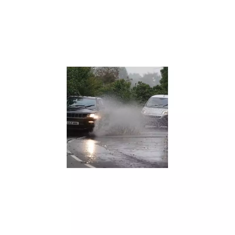
The Met Office has issued an urgent call to action for households across the Midlands, advising residents to prepare comprehensive emergency flood kits as the region braces for the arrival of Storm Chandra. This significant weather system is forecast to bring a combination of heavy rainfall and snow, prompting multiple weather warnings across the United Kingdom.
Multiple Weather Alerts Issued
Forecasters have activated nine separate weather alerts for Tuesday, with two new warnings specifically covering parts of Scotland, northern England, and the Midlands. These warnings span the entire duration of Tuesday, indicating prolonged periods of disruptive weather. The Met Office has emphasised that heavy rain is expected to transition to snow over higher ground, potentially causing significant travel disruption and power supply issues across affected areas.
Specific Warning Details
The first snow alert remains active from midnight until 5pm on Tuesday, encompassing much of northern England, southern Scotland, and sections of the Midlands. Meteorological experts predict widespread rainfall between 20mm to 30mm across these regions, with some isolated areas potentially experiencing up to 50mm of precipitation. The Met Office statement clarifies: "Outbreaks of rain will spread northwards on Monday night into Tuesday, falling as snow on high ground."
A second alert covers central and eastern Scotland from 6am Tuesday until the end of the day, with anticipated rainfall totals of 20mm to 35mm expected across the region. Some locations within this warning zone could see accumulations reaching 50mm. The meteorological service further explains: "Outbreaks of rain will develop widely on Tuesday, becoming persistent and heavy at times, falling as snow on high ground."
Emergency Preparedness Recommendations
Residents in areas affected by the rain alerts are strongly advised to assess whether their properties face potential flood risks. For those in vulnerable locations, the Met Office recommends developing a comprehensive flood plan alongside preparing an emergency flood kit. This proactive approach aims to minimise disruption and ensure household safety during the expected severe weather conditions.
Snow Accumulation Predictions
Both weather warnings indicate that snow will primarily affect higher ground, with elevations above 500 metres potentially receiving blanket coverage of up to 20 centimetres. This substantial snow accumulation at altitude could create hazardous travel conditions and increase the likelihood of infrastructure disruption across affected regions.
Storm Naming and European Coordination
The approaching weather system has been officially named Storm Chandra, following the established western Europe storm naming protocol coordinated between the United Kingdom, Ireland, and the Netherlands. This international naming system facilitates consistent communication about significant weather events across participating nations, enhancing public awareness and preparedness efforts.
With multiple weather warnings now in effect and Storm Chandra approaching, Midlands households are encouraged to take immediate precautions, monitor official weather updates regularly, and ensure they have adequate emergency supplies prepared for potential flooding and travel disruption scenarios.


