Six UK Regions on High Alert for Avalanches During Prolonged Snowstorm
The Scottish Avalanche Information Service has escalated its warnings, issuing six separate avalanche alerts for various parts of the United Kingdom as a significant winter storm approaches. These advisories come into effect on Tuesday, coinciding with a 17-hour period of heavy snowfall and severe weather conditions forecast by meteorological authorities.
Detailed Hazard Assessment Across Mountainous Terrain
SAIS has identified specific risk areas where snow accumulation is expected to create dangerous conditions. The service has implemented five amber warnings, indicating a considerable hazard level, alongside one green warning denoting a lower but still present risk. These alerts primarily concern elevated regions above 800 metres, where windslab formation poses particular dangers.
In the Cairngorms region, forecasters have warned that moderately to weakly bonded windslab will continue developing on predominantly west to north-facing slopes. The service specifically highlighted that avalanches become likely in steeper, wind-sheltered locations including gully exits, corrie rims, and steep convex terrain. Additionally, unstable cornices are expected to develop further as conditions deteriorate.
Meteorological Context and Additional Warnings
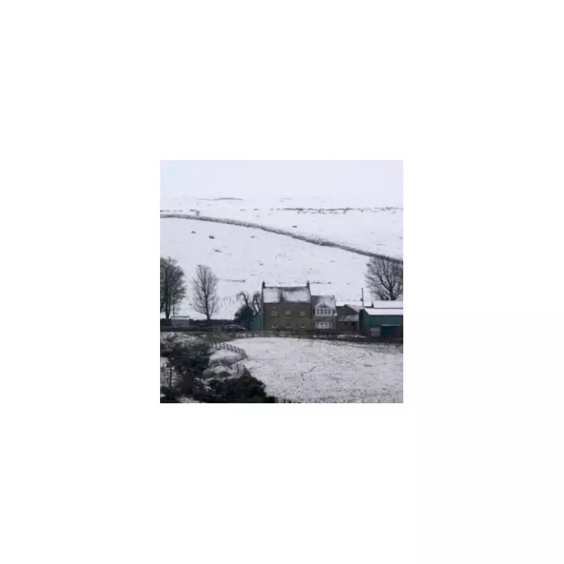
This avalanche advisory coincides with broader weather warnings issued by the Met Office, which has implemented both yellow and amber alerts for snow across affected regions. The precipitation window extends from midnight through to 5pm, creating a continuous 17-hour period of hazardous conditions. SAIS meteorologists note that precipitation will fall as snow above 400 metres, with the heaviest accumulations expected from mid-afternoon onwards.
Storm force winds are forecast to accompany the snowfall, initially south-easterly overnight before shifting to east-south-easterly during daylight hours. These conditions will create what SAIS describes as difficult conditions above 800 metres, characterised by deep drifts, hard ice formations, and significantly reduced visibility within the current weather system.
Regional Specific Assessments and Risks
In the Creag Meagaidh area, forecasters anticipate that poorly bonded windslab will become both deeper and more extensive on steep aspects ranging from south-west through west to northerly orientations, primarily above 850 metres. Localised accumulations may occur as low as 700 metres in particularly wind-sheltered locations. Coire rims, headwalls, and gully tops are identified as especially vulnerable areas, with weak cornices continuing to develop across similar aspects.
The Lochabar region faces additional challenges with substantial snow transport expected in strong winds. Fresh, unstable windslab deposits are predicted above 800 metres in sheltered locations on mainly west to north aspects where avalanche likelihood increases significantly. However, exposed windward aspects are expected to remain scoured and relatively stable, though fresh cornices in these areas will be prone to collapse.
For Glencoe, the meteorological advisory committee reports that while windward slopes will remain scoured, firm, and icy with generally good stability, new snow combined with strong winds will create potentially deep, unstable windslab formations in sheltered gullies and on slopes with aspects ranging from south-west through north to north-easterly, mainly above 800 metres. Fragile cornices existing above these areas, combined with cross-loading effects from variable winds, create conditions where both avalanches and cornice collapse are considered likely.
Broader Weather Impacts Beyond Avalanche Risks
Beyond the immediate avalanche concerns, Storm Chandra is expected to bring substantial rainfall across other parts of the United Kingdom. More than 100 flood warnings have been activated across England, primarily concentrated in the south-west region, with additional alerts in the West Midlands and around York along the Yorkshire coast. These flood warnings indicate that flooding is expected rather than merely possible, underscoring the widespread impact of this weather system across multiple regions and hazard types.


