
The Met Office has placed Birmingham and the wider Midlands region under a yellow weather warning for snow and ice, forecasting significant disruption for Friday. Residents are being urged to prepare for hazardous travel conditions, potential power cuts, and a severe wind chill that will make temperatures feel as low as minus twelve degrees Celsius.
Timeline and Expected Snowfall
The warning for Birmingham is active from midnight on Friday through until midday. Forecasters predict a band of sleet and snow will move southeast across England and Wales, affecting any given location for two to three hours. While most areas can expect around 1 to 2 cm of accumulation, some spots, particularly the higher ground of north Wales and northwest England, could see up to 5 cm of snow.
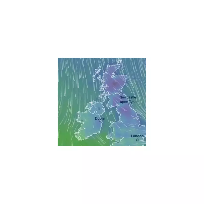
The wintry weather will originate in Scotland early on Friday, specifically affecting Grampian, Strathclyde, and Tayside. It will then sweep southwards through the Midlands and Northwest England, including Cheshire and Staffordshire, before reaching the Home Counties, Essex, and Kent by Friday afternoon.

Dangerous Cold and High Winds
While air temperatures are forecast to range between 4C and -4C, a biting northerly wind will create a much more severe 'feel-like' temperature of -12C across many parts of the country. This extreme wind chill poses a substantial risk of frostbite and hypothermia for anyone exposed.
Furthermore, strong gales are anticipated, especially along the east coast. On Saturday, locations like Scarborough and Bridlington could experience gusts of up to 65mph, leading to blizzard conditions and significant snow drifting where it has settled.
Widespread Disruption and Hazards
The Met Office has warned the public to expect widespread travel disruption throughout the warning period. Untreated pavements and cycle paths are likely to become icy and potentially impassable, while road and rail journeys may face delays and cancellations.
Additional hazards include:
- The risk of power cuts due to the conditions.
- Lightning is noted as a possible additional hazard within the wintry showers.
- Icy patches will form rapidly as the sleet and snow clears.
Authorities are advising drivers to pack essential items such as blankets, torches, and food in their vehicles in case of becoming stranded. The public is encouraged to check on vulnerable neighbours and to avoid unnecessary journeys during the peak of the adverse weather.


