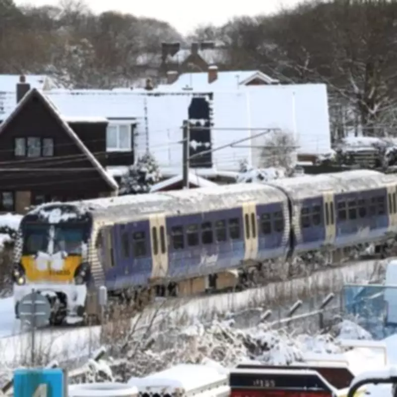
Valentine's Day Snow Bomb Set to Blanket Northern UK
Fresh meteorological data indicates a substantial wintry outbreak is poised to strike the United Kingdom next weekend, with forecasts suggesting a dramatic shift in conditions. According to the latest projections from WX Charts, a significant snow event is expected to commence on Saturday, February 14th, transforming the Valentine's Day atmosphere across much of the nation.
Detailed Forecast Maps Reveal Snow Accumulation Patterns
The newly released weather maps and charts present a concerning outlook, with deteriorating conditions anticipated nationwide. The visual data illustrates the UK adopting a bright white hue as Arctic showers make landfall, particularly affecting regions north of Birmingham. The Met Desk information, which forms the foundation of WX Charts' analysis, predicts staggering accumulations reaching up to 43 centimetres in certain areas by Tuesday, February 16th.
Precipitation is forecast to begin as flurries on Valentine's Day itself, persisting through February 15th and into the 16th. This prolonged period of snowfall raises concerns about travel disruption and potential hazards.
Geographical Divide: North Versus South
The meteorological models reveal a stark geographical division in expected impact. The entirety of the UK situated north of Birmingham appears destined for snow cover, with Aberdeen and the Scottish Highlands identified as the worst-affected zones. Conversely, approximately half of England – specifically areas south of Birmingham – is likely to be spared significant accumulations.
Weather maps indicate that flurries are improbable further south than the West Midlands, with these regions instead displaying a grey colouration on predictive charts, denoting minimal to no snow depth. This creates a clear demarcation between northern regions bracing for winter weather and southern areas potentially experiencing milder conditions.
Expert Analysis and Additional Weather Warnings
Meteorological commentary from Netweather TV provides additional context, noting a brief midweek respite from rainfall for southern Britain preceding this event. However, this fair weather interlude is expected to be short-lived. Jo Farrow, a forecaster with Netweather TV, elaborated on the complex conditions.
"Away to the northeast, in the cold air, there will be snow inland, over the hills and mountains of northeastern and central Scotland," Ms Farrow explained. "The rain just continues off the North Sea for Grampian, Tayside and more of northeast Britain."
She further detailed specific risks: "Parts of northeastern Scotland will see icy rain and sleet with several centimetres of snow over 100 metres inland. There is a rain warning for coastal Aberdeenshire and Aberdeen with a further 10 to 20mm expected, followed by an inland warning for heavier rain (30-40mm) turning to snow above 300 metres."
Flood Risk and Travel Advisory
The forecast raises significant concerns beyond immediate snowfall. With ground conditions already saturated from previous rainfall, the combination of additional precipitation and subsequent snowmelt presents a genuine risk of localised river flooding. Authorities are likely to issue advisories regarding difficult driving conditions, particularly in northern England and Scotland, where snow accumulations will be most severe.
Residents in affected regions are advised to monitor official weather updates from the Met Office and prepare for potential travel disruption as this significant winter weather system approaches the UK coastline.


