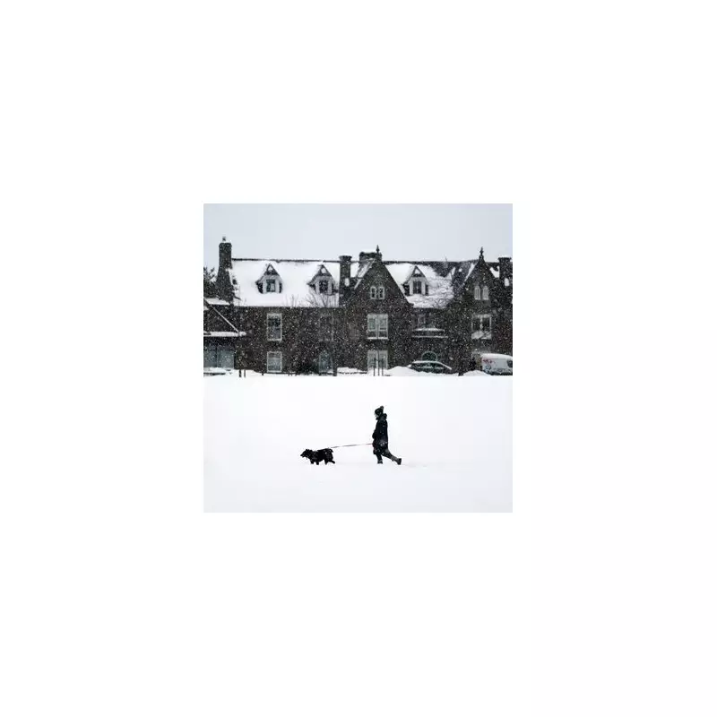
The Met Office has issued a significant weather update, warning that the United Kingdom is set to face a fresh bout of snow and disruptive wintry conditions. It is now clear that winter's grip remains firm, with parts of the country potentially experiencing substantial snowfall in the coming days.
Unsettled Weather Pattern to Bring Rain and Hill Snow
This week, the UK is bracing for a period of unsettled weather as wintry conditions sweep across northern regions. A clash between high pressure to the north and Atlantic systems is expected to drive this pattern, resulting in persistent rain and significant hill snow, particularly in Scotland and northern England.
Detailed Forecast for the Week Ahead
On Wednesday, January 21, rain and hill snow are anticipated across Scotland, with conditions clearing to sunny spells by the afternoon. Blustery winds will accompany bands of showery rain as they push northwards across the rest of the country.
Tonight, heavy and persistent rain is forecast to settle over southeast Scotland, while most regions will remain cloudy and breezy. This will create a damp and unsettled evening as showers continue to move through.
Thursday is expected to stay cloudy with further outbreaks of rain, though some brief brighter interludes may develop at times. The most persistent rain is likely in eastern Scotland, where snow will continue to fall over the hills.
Weekend Outlook and Colder Trend
The weekend outlook remains unsettled, with showers or longer spells of rain across many areas. Temperatures will generally stay near average for most, but it will turn significantly colder in the far north.
Moving into next week, a colder trend is set to emerge as weather systems stall against high pressure to the northeast. This increases the risk of snow showers, especially on higher ground in Scotland and northern England.
Longer-Term Forecast into Early February
By early February, the jet stream is expected to shift southwards, which will keep wintry hazards a threat in the north and east. Any precipitation spreading into these colder air masses is likely to result in snow, particularly on the hills.
Residents are advised to stay updated with the latest Met Office warnings and prepare for potential travel disruptions due to the snowy and wet conditions.


