
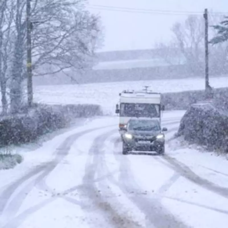
Major Snow Event Forecast to Blanket 90% of Britain in February
The United Kingdom is preparing for a substantial winter weather event, with meteorological data indicating that a significant snow system could impact approximately 90% of the country during February. According to the latest projections from the GFS weather model, utilised by forecasting services including WX Charts and Met Desk, widespread blizzard conditions are anticipated to develop across many regions.
Timeline and Geographic Impact of the Incoming Snow
The initial snowfall is currently projected to commence from 9:00 AM on February 9th. Early forecasts suggest that Scotland, northern England, eastern England, and North Wales are likely to experience the first wave of this wintry precipitation. As the system progresses throughout the day, southern areas including London and Bristol could begin to see snow by approximately 9:00 PM on the same date.
By the morning of February 10th, at around 6:00 AM, snow coverage maps indicate the potential for near-total coverage across the UK. The data points to snow accumulations affecting a vast majority of the nation, with specific models highlighting the possibility of up to 15 inches (approximately 38 centimetres) settling in the North Pennines. Similarly, the Scottish Highlands could see accumulations reaching around 13 inches (33 centimetres).

Short-Term Weather Outlook and Broader Forecast Patterns
In the immediate term, the Met Office forecast for Thursday, January 29th, describes conditions as "rather cloudy with some rain and hill snow in the north." The outlook for the rest of the week remains unsettled, with the forecast for Friday indicating "rather cloudy and breezy with rain moving northwards, giving snow over some northern hills." The period from Saturday to Monday is expected to continue this pattern, remaining "unsettled" with showers or longer spells of rain affecting most areas, accompanied by brisk winds and further snow on northern hills.
Looking further ahead towards late February, forecasters note the potential for a "north-south split" in weather patterns initially, with low pressure likely to the south and high pressure to the north. This may later shift to a "southwest-northeast split." With the jet stream positioned further south than is typical for this time of year, the wettest conditions are more probable across southern regions. Northwestern parts of the UK may experience drier than normal conditions, though the entire country faces the risk of incursions of wet, windy, and milder weather, particularly in the south and later the west.
The forecast emphasises that colder conditions further north will bring an increased risk of wintry hazards, especially where precipitation from the southwest interacts with the colder air mass. These colder conditions may affect all parts of the UK at times, with a heightened likelihood early in the period.


