
UK Braces for Major Snow Event with 130cm Forecast
The United Kingdom is preparing for a significant winter weather event, with forecast models predicting a substantial snow bomb that could deposit up to 130 centimetres of snow in certain regions. According to data from WX Charts, which utilises information from Met Desk, this weather system is expected to span approximately 400 miles across the country, bringing widespread disruption and wintry conditions.
Exact Start Date and Forecast Details
The snowfall is forecast to commence from midnight on Monday, February 16, based on modelling from the GFS and ECMWF systems. This precise timing allows authorities and residents to prepare for the impending severe weather, which is set to impact numerous areas with varying intensity.
Regional Impact and Snow Depth Predictions
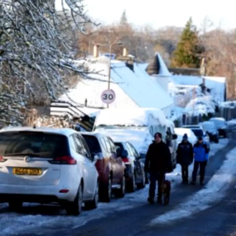
Maps indicate that northern regions will bear the brunt of this weather event. Specifically, Perth and Kinross in Scotland are estimated to receive an astonishing 130cm of snow, creating potentially hazardous travel conditions and significant accumulations.

Moving south of the border, South Yorkshire is projected to be the worst-affected area in England, with up to 19cm of snow likely. The Midlands will experience milder impacts, with forecasts suggesting up to 4cm of snow, particularly affecting Nottinghamshire. Notably, the West Midlands is expected to escape the heaviest snowfall, experiencing less severe conditions compared to neighbouring regions.
Major Towns and Cities Affected
The snow bomb will impact a wide range of urban centres across the UK. Key areas facing snowfall include:
- Northern England: Newcastle, Sunderland, Durham, Carlisle, York, Hull, Lincoln, Leeds, Sheffield, and Nottingham.
- Wales: Wrexham, which will see a dusting of wintry weather.
Expert Analysis and Broader Weather Patterns
Jo Farrow from Netweather TV provided further insight into the developing weather situation. She explained, "There will also be a succession of fronts moving north over the UK in the flow around Leonardo. More damp weather and cloud for southern Britain on Thursday morning, on one of these bands."
She added that London will experience wet conditions on Thursday, with temperatures around 9°C, though it will feel closer to 6°C. By Thursday evening, heavier rain is anticipated for southern Britain, while wet weather over northern hills will turn increasingly wintry, leading to snow over the Pennines, Southern Uplands, and inland eastern Scotland.
Weekend Outlook and Potential Disruption
Looking ahead to Friday, Northern Ireland and Wales are expected to be wet by morning, with an easterly flow bringing more wet and wintry weather to northeast Britain. In contrast, northwestern Britain will enjoy shelter and drier conditions on both Thursday and Friday.
Farrow noted that the frontal bands linked to Leonardo will continue to bring rain to areas already experiencing high groundwater and river levels. "Some disruption looks possible by the weekend," she stated, "but even that is just bands of rain in different places with some sunny spells in between, nothing too settled yet." This indicates that while the snow bomb is a significant event, the overall weather pattern remains unsettled, with intermittent precipitation and brief clearer periods.


