
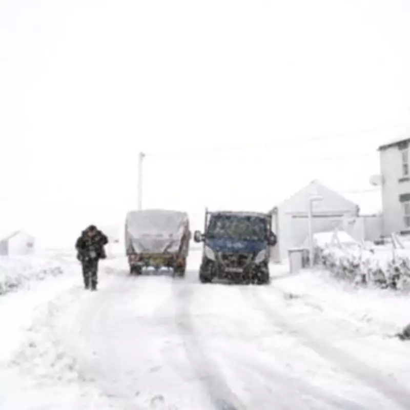
New weather maps and charts from WX Charts indicate a significant upgrade to the impending UK snow bomb, with forecasts now predicting accumulations of up to 18 inches in the worst-affected regions. The system is set to strike on February 13, blanketing a vast 528-mile radius that stretches from Edinburgh in the north to Newquay in the south.
Severe Snowfall Predictions Across the Nation
The data, which utilises Met Desk projections, shows the Scottish region of Moray bracing for the most extreme conditions. Here, an eye-watering 47 centimetres of snow – equivalent to 18 inches – could descend, potentially causing major travel disruption and localised hazards.
England is not expected to escape the wintry blast, with maps indicating between seven and nine centimetres of snowfall across many areas. Accompanying the snow will be a sharp drop in temperatures, with the Scottish Highlands potentially plunging to a bitter -8°C and parts of England experiencing lows of around -2°C.

Met Office Analysis of the Unsettled Pattern
Met Office Deputy Chief Forecaster Stephen Kocher has provided insight into the atmospheric drivers behind this severe weather. "The temperature contrast in North America is helping to invigorate the jet stream, which is a driver for much of the UK's weather," he explained.
"With the jet stream strengthened, this helps to develop and strengthen low pressure systems and push them towards our shores, resulting in the weather we’ve seen over recent days. This is likely to bring further unsettled weather into next week."
Immediate Forecast and Flooding Concerns
In the short term, the Met Office indicates that Sunday will be the drier day of the weekend for many, though it will remain largely cloudy with some brighter intervals. Showers are expected to drift in from North Sea coasts and western parts.
Chief Forecaster Rebekah Hicks has also highlighted ongoing concerns regarding saturated ground and flooding risks. "Over the next few days we’ll see more rain into areas of the country which have already been hit by flooding, and the saturated ground contributes to the ongoing likelihood of some disruption," she stated.
"The totals we’re expecting aren’t comparable to Storm Chandra, but with around 25 mm possible each day in parts of the Yellow warning areas, it could be sufficient to lead to difficult travel conditions and further flooding in places."
Residents across the forecast 528-mile radius are advised to monitor official updates from the Met Office and prepare for potential travel disruption, school closures, and hazardous conditions as this significant snow event approaches.


