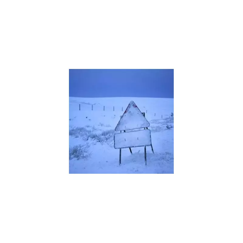
A significant winter weather system, dubbed a 'snow bomb', is forecast to hit a wider area of England than initially predicted, with eight counties now on alert for disruptive snowfall on December 21.
Expanding Winter Hazard Zone
Latest data from WX Charts, which utilises Met Desk information, indicates the impending cold snap will now affect a larger swathe of northern England on the date of the winter solstice. Initially, warnings covered five areas: Cumbria, Cheshire, Greater Manchester, Lancashire, and Northumberland.
The forecast has now been extended to include three additional counties: Staffordshire, the West Midlands, and Durham. This expansion significantly increases the number of residents and transport networks likely to be impacted by the wintry conditions.
Widespread Disruption and Further Warnings
Maps based on the GFS advanced modelling system also suggest that parts of south Wales could see a light dusting of snow this weekend, adding to the potential for travel disruption across the UK.
Looking ahead to the coming weekend, Netweather TV forecaster Jo Farrow provided detailed analysis. She stated that a cold front will bring heavier rain from the west, accompanied by gales through the Irish Sea and the Minch. Northern Scotland, particularly the northeast, may experience gusty winds.
Southeastern Britain will remain cold and grey, with a breeze picking up through the day. A band of rain will move over Wales, northern England, and into southwestern England, bringing blustery conditions.
Flooding Concerns Amid Persistent Wet Weather
Ms Farrow highlighted ongoing concerns, noting: "It has been so wet in recent weeks that flooding concerns are already being highlighted, particularly for SW Britain."
She described a pattern similar to a previous Monday, with a band of frontal rain extending southwest to northeast across Britain, and drier conditions to the northwest and southeast of this band.
The system will introduce milder air initially, lifting temperatures into double figures, with blustery conditions along the south coast of England by Wednesday evening. However, colder air will follow the main cold front. The development of waves along this frontal boundary will slow its southward progress and is likely to bring heavier pulses of rain for Thursday.
Residents in the affected counties are advised to monitor the latest travel updates and weather warnings as the weekend approaches.


