
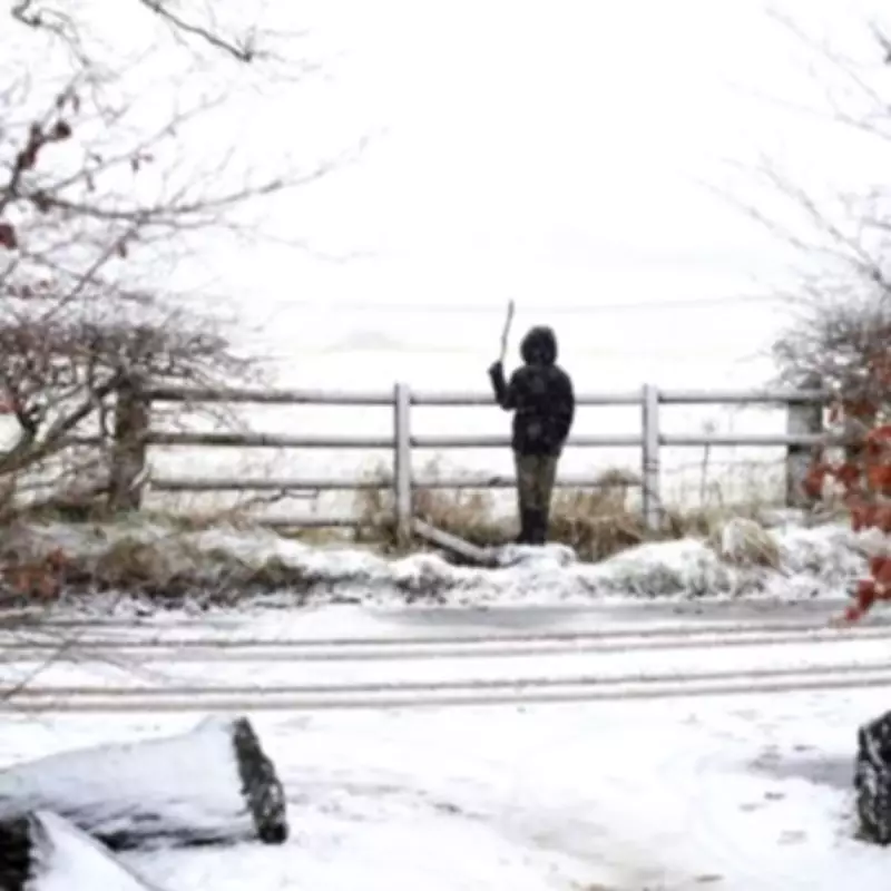
Meteorologists have pinpointed a new date for anticipated widespread snowfall across the United Kingdom, with significant disruption now forecast to begin in earnest from February 10. The update comes as forecasters analyse conflicting weather patterns that could bring Arctic conditions to parts of the country.
Revised Forecast for Disruptive Snowfall
Leading meteorologist Jim Dale, of British Weather Services, has publicly revised his prediction, now earmarking Sunday, February 10, as the likely start date for more extensive and disruptive snow across the UK. This announcement follows numerous reports speculating about a potential severe cold spell reminiscent of past 'Beast from the East' events that have crippled transport and infrastructure.
"The snow threat keeps getting pushed back and further into the distance," Mr Dale explained, highlighting the complexity of current weather modelling. "Now looking more like from the 10 February, but anyone’s guess how widespread that might be." He specifically noted that immediate forecasts show little snow risk for London, with the capital caught between colder eastern air and milder western systems.

Conflicting Predictions and Earlier Snow Risks
While Mr Dale's forecast focuses on the February 10 timeframe, other meteorological services are predicting wintry conditions much sooner. Several forecasters indicate that snow could arrive as early as Tuesday, February 3, with weather maps from services like WX Charts showing precipitation turning white across southern regions, potentially reaching as far south as Greater London.
This discrepancy highlights the challenging nature of long-range winter forecasting in the UK, where small shifts in atmospheric pressure can dramatically alter outcomes. The potential for a Sudden Stratospheric Warming (SSW) event, as suggested by Netweather TV, adds another layer of uncertainty, as such phenomena can significantly increase the likelihood of severe cold snaps and sustained snowfall.
Detailed Outlook for Early to Mid-February
Looking further ahead to the period between February 9 and February 19, Netweather TV provides a more detailed regional breakdown. Their analysis suggests high pressure will likely establish itself north of Britain, shifting into the Iceland and Greenland sector. This configuration would funnel Arctic northerly winds towards northern Britain rather than continental easterlies.
"During this week, the high pressure to the north of Britain looks set to move predominantly into the Iceland/Greenland sector, which will result in Arctic northerlies, rather than continental air from the east, pushing into northern Britain during the week," their forecast states.
Regional Variations and Temperature Gradients
The forecast anticipates continued low-pressure systems tracking further south than usual, potentially bringing another wet week to southern Britain. However, on the northern edges of these frontal systems, snow is considered likely on high ground and possibly to lower levels at times, particularly across a band from southern Scotland and north Wales through to the Midlands.
Northern Scotland could experience a mix of sunshine and snow showers, with accumulations possible on low ground for much of the week. A pronounced temperature divide is also expected, with mean temperatures potentially falling 2°C or more below seasonal averages in northern Scotland, while south-east England may see slightly above-average temperatures due to milder air carried by the low-pressure systems.
"Thus, an enhanced north-south temperature gradient looks likely," the Netweather forecast concludes, painting a picture of a potentially divided nation in terms of winter weather experience during this period.
Residents across the UK are advised to monitor official weather warnings and forecasts closely as the situation develops, particularly given the uncertainty surrounding the exact timing, extent, and severity of any snowfall.


