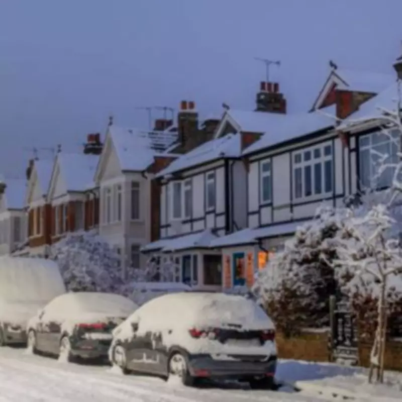
The Met Office has issued detailed weather warnings for snow and wintry conditions across the United Kingdom, with significant impacts expected before the weekend arrives. Forecasters have pinpointed specific regions that are likely to experience snowfall on Thursday, January 29, and Friday, January 30, as a sharp cold snap takes hold of the nation.
Regions Facing Imminent Snowfall
According to the latest meteorological updates, elevated areas and higher ground will be particularly vulnerable to snow accumulation during this period. The northern parts of England and extensive regions of Scotland have been highlighted as primary zones for wintry precipitation.
Detailed List of Affected Areas
The Met Office has explicitly named the following areas that are set to be impacted by the incoming snow:
- Northern England
- North East Scotland
- Hills and mountainous regions across Scotland
Meteorologists emphasise that Friday will bring further unsettled weather, with rain and blustery showers predicted for western and southwestern areas. Colder conditions will persist further north, while slightly milder air may affect southern regions. Intermittent brighter spells are expected between showers, though Scotland could see additional hill snow as temperatures remain low.
Expert Analysis and Extended Forecast
James Madden from Exacta Weather provided additional insight, stating that snow is likely to continue across higher ground in eastern Scotland throughout Thursday. He also noted the possibility of brief wintry weather or snow streamers affecting parts of the north-east and eastern England during the day.
Madden further explained that from early Friday, cool to cold conditions will mix to produce additional wintry weather and snow across the northern half of the country. There is potential for transient snowfall as far south as central England, though accumulation may be less significant in these areas.
Weekend Outlook and Beyond
The wintry conditions are expected to persist into the weekend, with further snow showers likely across the northern half of the UK. Some central areas and even parts of Wales could also experience sporadic wintry precipitation during this period.
Looking further ahead, meteorological models suggest the possibility of additional snow and cold air arriving from the east around midweek next week. This pattern could intensify during the early February period, though forecasters caution that the severity and intensity of these potential events remain subject to change in the coming days.
Madden also referenced an early February major atmospheric disturbance and Sudden Stratospheric Warming (SSW) event, which could enhance cold and wintry expectations extending into spring, particularly during March. This complex atmospheric phenomenon may contribute to prolonged periods of unsettled winter weather across the nation.
Residents in affected areas are advised to stay updated with the latest weather warnings and travel advisories as conditions develop. The Met Office continues to monitor the situation closely and will provide further updates as necessary.


