The UK is bracing for a significant cold snap this week, with health officials issuing a formal alert for snow and ice as Arctic air sweeps across the country.
Official Cold Weather Alert Issued
The UK Health Security Agency (UKHSA) has activated a cold weather warning for multiple regions, including the East Midlands, West Midlands, North East, North West, and Yorkshire and the Humber. This alert is active from 8am on Monday until 8am next Friday.
This abrupt change follows a period of unseasonably mild weather, with the Met Office confirming that the UK experienced its coldest night since March last Saturday. The mercury plunged to a chilling -7°C in Tulloch Bridge in the Scottish Highlands, signalling the start of a much colder pattern.

Met Office Forecast: Arctic Air and Wintry Hazards
According to Dan Holley, Deputy Chief Meteorologist at the Met Office, the shift is driven by high pressure and Arctic winds. "As Storm Claudia retreats to the south, high pressure to the north west will drive a cold northerly flow from the Arctic across the UK," he explained.
This weather system will bring a marked drop in temperatures. Holley warned of widespread frosts across the UK, with overnight temperatures again potentially reaching as low as -7°C in some areas. Daytime temperatures are expected to struggle, remaining in single figures nationwide. The combination of low temperatures and a brisk northerly wind will create a significant wind chill, making it feel even colder.
The Met Office has also highlighted a risk of snow and ice following the recent rain, indicating that weather warnings for these hazards may be issued in the coming days.
Travel Disruption and Safety Warnings
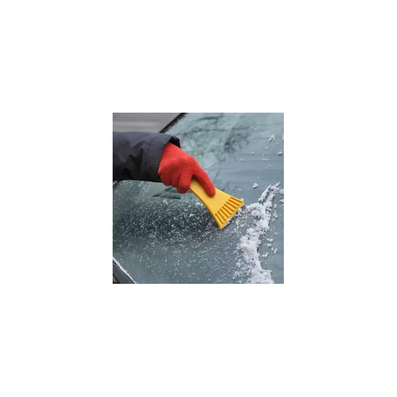
The impending freeze has prompted warnings for motorists. Alice Simpson, a spokesperson for RAC Breakdown, advised drivers to be prepared for treacherous conditions. "There's potential for freezing temperatures to make roads hit by heavy rain very slippery with a chance of ice," she said.
The RAC anticipates a surge in breakdowns, with volumes expected to be around 10% higher than normal for this time of year. This equates to approximately 1,000 additional call-outs each day.
Simpson also highlighted a less obvious autumnal hazard: "Normal indicators of autumn, like fallen leaves on the road, can also become very hazardous in icy conditions as they create an extra layer between tyres and the road surface, increasing the likelihood of skidding."
Residents across the affected regions are urged to stay updated with the latest local forecasts and take necessary precautions during this period of severe cold.