Following a record-breaking end to May that saw the UK experience its highest ever May temperature, the next heatwave appears to be on the horizon. The Met Office has indicated that higher temperatures may return to the UK as June progresses.
Forecaster Aidan McGivern explained: "If you're thinking well that's it then summer is over before it's even begun, let's take a look at the week after next. That shows a greater chance of higher than average pressure emerging once again in the south." He noted that there are "tentative signals" of a return to high pressure, but cautioned that it was "a long way off" and there was "plenty of weather" to come between now and then.
"We're talking about mid June onwards," McGivern added. The Met Office's outlook suggests that low pressure systems will continue to move in from the Atlantic, bringing showers or longer spells of rain at times, with the best of drier conditions more likely towards the south and east. Drier weather may become more dominant through the second week of June, with temperatures near-normal overall and the warmest spots most likely across eastern areas.

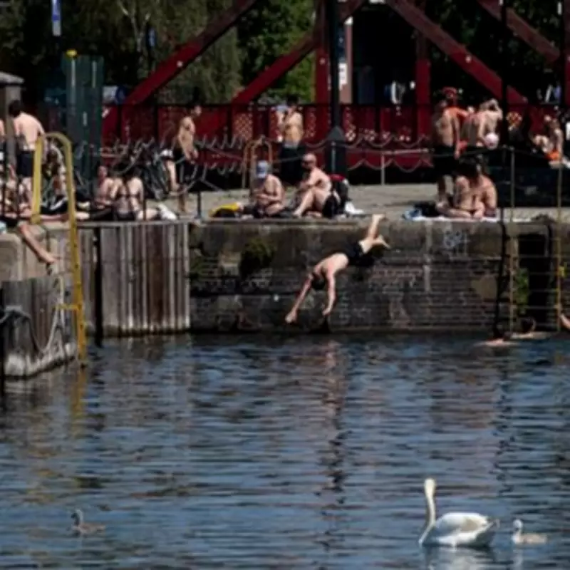
The forecast comes after the UK recorded its highest ever May temperature for the second consecutive day, with thermometers hitting 35.1C at Heathrow and Kew Gardens in London. Looking ahead to the weekend of May 30-31, the Met Office predicted a mostly cloudy day across Northern Ireland and Scotland with outbreaks of showery rain, while England and Wales would enjoy dry conditions with plenty of warm spells of sunshine and light winds.
From Sunday to Wednesday, a fresher feeling day is expected with a mixture of sunny spells and scattered showers, most frequent in the north. Meteorological summer starts on an unsettled note, with spells of rain on Monday followed by heavy and thundery showers on Tuesday, and further rain likely on Wednesday. Temperatures are expected to be near average.
The first June outlook, until June 12, states: "Low pressure systems will continue to move in from the Atlantic, leading to showers or longer spells of rain at times. The best of the drier conditions are usually more likely towards the south and east, with more frequent rain across the west and northwest. Drier weather may start to become more dominant through the second week of June. Temperatures will be near-normal overall, with the warmest spots most likely across eastern areas. It will also be breezy at times, especially across western parts, and notably so around exposed coasts."