A fresh 24-hour weather alert has been issued for Birmingham, signalling no respite from the torrential downpours that brought the city to a standstill during Wednesday's morning rush hour.
Transport Network Brought to its Knees
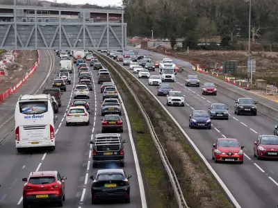
The chaos began overnight and continued into Wednesday, November 12, with relentless heavy rain causing gridlock on key roads into the city centre. Bus and train services were severely impacted, with significant delays and cancellations reported across the network.
The A34 through Perry Barr was particularly badly hit, with an underpass submerged by standing water that would normally be filled with traffic. In a striking image of the disruption, a car was left stranded in deep floodwater on Green Road in Hall Green, highlighting the dangers posed to motorists.

The problems extended to the railways, where passengers faced delays of up to 90 minutes on services from New Street to Redditch and Bromsgrove. The situation was compounded by a fallen tree, forcing the implementation of replacement bus services on sections of the line.
Further Downpours on the Horizon
While a brief period of drier weather is expected on Thursday, the Met Office has now issued a yellow weather warning for more heavy and prolonged rain. This alert is active from Friday through to Saturday morning.
The warning states that the rain "may lead to some flooding and disruption". It covers a vast area of England and most of Wales, stretching from Yorkshire down to the South East and into Devon and Somerset.
Midlands in the Firing Line
Forecasters have identified the Midlands as one of the regions expected to be worst affected. The Met Office detailed that outbreaks of rain will develop through Thursday evening, becoming heavy and persistent throughout Friday before slowly easing on Saturday morning. Strong easterly winds are also anticipated.
Widespread rainfall accumulations of 30 to 50 millimetres are predicted, with some locations potentially receiving 60 to 80 mm. Over east-facing hills in southeast Wales, totals could even exceed 100 mm.
Given the recent saturation of the ground, this new deluge is likely to lead to further surface water flooding and possible river flooding. The Met Office has indicated that impacts are more probable across southeast Wales, the Midlands and parts of southern England, urging residents to stay vigilant.