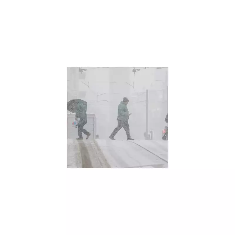
The United Kingdom is preparing for a significant wintry onslaught in the new year, with forecasts predicting a 100-mile wall of snow that will sweep across the country. Weather maps have turned a deep purple, signalling the arrival of heavy snowfall within a matter of weeks.
Snow Timeline and Worst-Hit Areas
The first major band of snow is expected to land on Tuesday, January 6, less than a day after the Christmas holidays conclude. According to data from WX Charts using MetDesk information, the initial snowfall will appear over the South East of Scotland and Northern Ireland around 6pm that evening.
Simultaneously, a separate band will target parts of Northern England, specifically blanketing the counties of Cumbria, Northumberland, and Durham. Earlier on the same day, a large swathe of snow is predicted to stretch from South West Scotland into Northumberland.

Southern England Set for Midweek Flurries
The wintry conditions are not confined to the north. By midnight on Wednesday, January 7, another band of snow could develop over southern regions. Forecasts indicate that counties including Oxfordshire, Berkshire, Hampshire, and Wiltshire may see disruptive flurries, bringing the total number of worst-hit English counties to seven.
Met Office Long-Range Forecast
The Met Office has acknowledged the potential for this cold snap in its long-range forecast covering January 6 to 20. While indicating a 'small chance' of milder weather in northern parts at the start of the period, the forecaster expects high pressure to dominate.
This will likely bring dry and settled conditions, particularly in the south, with any rainfall mostly confined to the north. The Met Office states that temperatures during this period are expected to be 'close to or slightly below normal'.
However, the forecast also notes a potential shift towards the end of the period, with 'more changeable or unsettled conditions' possibly developing more widely across the UK.
Residents across the affected regions are advised to stay updated with the latest forecasts as the predicted dates approach, as the exact track and intensity of the snowfall may still be subject to change.