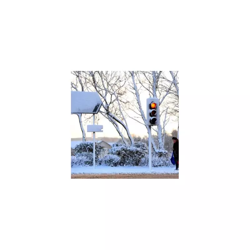
Fresh weather maps have pinpointed the parts of England bracing for a prolonged spell of snowfall, with up to two inches expected to settle in some regions.
Counties on Alert for Prolonged Snowfall
According to the latest data from WXCharts, which utilises Met Desk information, a significant snow event is forecast to sweep across six English counties. The snowfall is predicted to commence around 6am on Monday, January 5, and persist for over 12 hours.
The areas most at risk include Greater Manchester, Lancashire, and parts of West and North Yorkshire. Cumbria, Northumberland, and Durham are also in the path of the incoming wintry weather.
Depth and Temperature Plunge Forecast
Maps indicate that the snow could accumulate to a depth of two inches (approximately 5cm), particularly over higher ground in the Peak District and the Yorkshire Dales.
The cold snap will bring a severe temperature drop alongside the snow. Scotland could see lows of -9°C at 3am. In England, Yorkshire and the Humber and the North West are preparing for temperatures as low as -4°C.
North Wales may also experience -4°C, while Cardiff and Swansea are likely to face a chilly -1°C.
Broader Impacts and Longer-Term Outlook
The charts suggest the potential for the snowy conditions to reach further south, potentially affecting the Midlands, southern England, and even as far as Devon, Cornwall, and Greater London.
However, the area predicted to be worst hit is in Scotland, with Ross and Cromarty and Inverness-shire potentially seeing an astonishing 10.2 inches (26cm) of snow in a single day.
Looking ahead, the BBC's outlook from December 29 into January suggests high pressure will keep conditions mostly dry for several days, with temperatures remaining below average and further frosts. The following weekend is more uncertain, with a chance of low pressure bringing rain or showers, especially to northern areas, Scotland, and Northern Ireland, with wintry conditions over higher ground.


