A yellow weather warning for snow and ice remains active across Birmingham and the wider West Midlands this morning, following significant snowfall on Sunday night. The alert, issued by the Met Office, is scheduled to last until 11am on Monday, January 5, 2026.
Current Conditions and Travel Impact
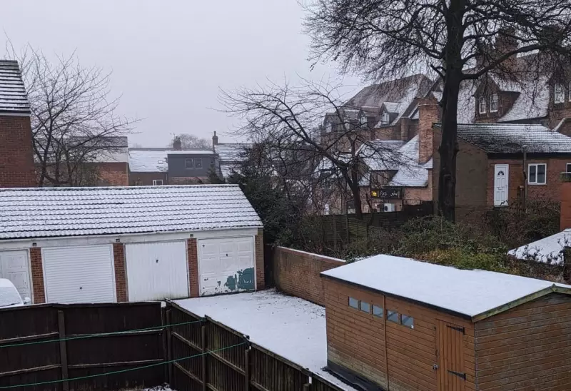
The wintry conditions are already causing some disruption to travel networks in the region. Despite the ongoing warning and bitterly cold temperatures, no further snow is predicted to fall today. The primary hazards are icy patches on untreated surfaces and compacted snow from the weekend's fall.
Met Office Forecast for Birmingham This Week
Looking ahead, the Met Office indicates that no more snow is currently forecast for Birmingham this week. However, residents should brace for persistently cold conditions, a mix of sunshine and cloud, and the possibility of rain by the weekend.

Tonight (January 5): Temperatures are expected to plummet rapidly after dark, falling well below freezing. A widespread and severe frost will form under clear, starry skies. Icy patches are likely, making conditions hazardous. The minimum temperature is forecast to be a biting -7 °C.
Tuesday: Another very cold start with a severe frost. The day will gradually turn cloudier with occasional bright spells. There is a chance of a little rain or sleet later, particularly during the evening. It will turn slightly milder, with a maximum temperature of around 4 °C.
Outlook for Wednesday to Friday
The weather is set to become more unsettled from Wednesday onwards. While largely dry at first, periods of heavy rain are expected, with the potential for hill snow. This could lead to further travel disruption at times. Conditions will also turn windier, with gales possible later in the period.
Friday, January 9, is currently forecast to see some light rain. The overall message from forecasters is to prepare for a week dominated by cold, with icy hazards lingering and a shift to wet and windy weather by midweek.