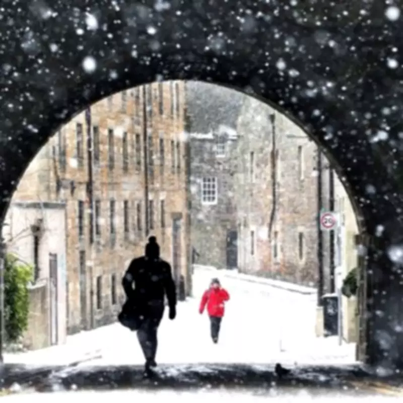
Midlands Braces for Significant Snowfall This Week
The Met Office has escalated weather warnings for the Midlands region, issuing a yellow alert for snow that is set to bring potentially disruptive conditions. The warning period spans from 3pm on Thursday, February 5, to 3am on Friday, February 6, covering a critical twelve-hour window where significant accumulation is forecast.
Forecast Details and Expected Accumulation
Meteorologists are predicting that by the conclusion of this wintry episode, up to 15 centimetres of snow could settle in the most affected areas. The forecast indicates that while some sleet or light snow may reach lower elevations temporarily this evening, the primary risk of accumulating snow is concentrated above 250 to 300 metres, where initial accumulations of around 5cm are possible.
In locations exceeding 500 metres in altitude, the situation is more severe, with forecasts suggesting a potential 5-15cm accumulation. The Met Office has specifically highlighted that much of this snow is expected to melt during Friday morning, following the expiration of the official warning.
Areas at Risk and Travel Implications
The alert singles out Derbyshire as the primary Midlands county facing the highest risk. Consequently, several towns within the county are on alert, including:
- Swadlincote
- Ilkeston
- Buxton
- Matlock
- Glossop
The BBC Weather team has advised the public that "rain will turn increasingly to snow over hills through this afternoon and evening and may lead to some travel disruption." This disruption is anticipated to affect road and rail networks, with longer journey times expected for road, bus, and train services across the warned area.
Broader Weather Patterns and Weekly Outlook
Analysing the wider meteorological context, Netweather TV has provided a week-by-week outlook explaining the driving forces behind this cold snap. The forecast indicates that "this week will see the jet stream slip further south, introducing easterly winds to the British Isles, as the Scandinavian blocking high moves into Greenland."
This pattern is drawing some of the deep cold air from Russia towards Scotland, though it may struggle to penetrate deeply into England, Wales, or Northern Ireland. For the Midlands and northern England, the situation remains complex, with frontal systems from the North Atlantic potentially bringing snow on their northern and eastern flanks.
Netweather adds: "The frontal systems may bring some snow... most likely across north Wales, the Midlands and northern England, though mainly rain near North Sea coasts." For regions further south, including southern England and south Wales, precipitation from these systems is still expected to fall primarily as rain.
Residents in the affected Midlands towns are urged to stay updated with the latest forecasts from the Met Office and to plan journeys accordingly, allowing extra time for travel during the warning period.


