Midlands Prepares for Substantial Snowfall with Arrival Date Confirmed
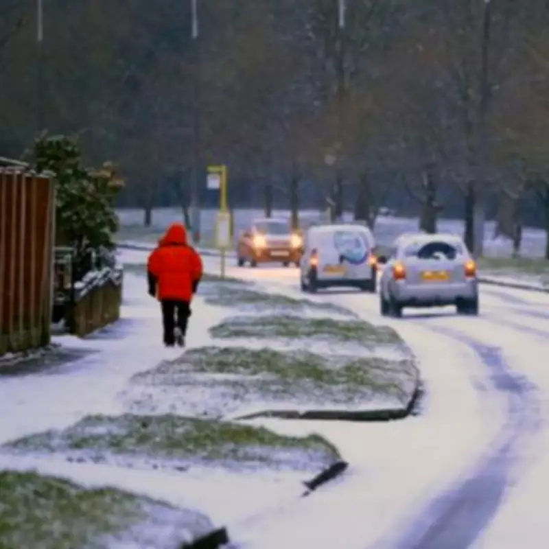
Residents across the Midlands are being urged to prepare for disruptive wintry conditions as meteorological data points to a significant snow event arriving next week. Weather modelling has identified Thursday, February 13 as the key date for the onset of this cold snap, with forecasts suggesting accumulations could reach three inches (approximately 7.5 centimetres) in parts of central England.
Areas at Highest Risk in the West Midlands
Analysis from WX Charts, utilising Met Desk data, highlights that counties within the West Midlands region are particularly vulnerable. The projected snow bomb is expected to most notably impact Warwickshire, Worcestershire, Shropshire, and Staffordshire.
A considerable number of towns and cities have been flagged for potential disruption. The list includes:
- Major Urban Centres: Birmingham, Coventry, Wolverhampton, Worcester, Stoke-on-Trent, and Stafford.
- Towns at Risk: Nuneaton, Rugby, Leamington Spa, Stratford-upon-Avon, Shrewsbury, Cannock, Tamworth, and Rugeley.
- Other Notable Areas: Solihull, Dudley, Sutton Coldfield, and Warwick.
East Midlands Also in the Firing Line
The wintry weather is not confined to the western side of the region. Forecasts indicate that the East Midlands should also brace for a covering of snow, with Leicestershire and Derbyshire expected to be affected. This means locations such as Leicester, Melton Mowbray, Alvaston, Derby, Swadlincote, Buxton, and Matlock are likely to experience snowfall.
Expert Analysis and Wider Weather Context
James Madden, a forecaster from Exacta Weather, provided detailed commentary on the evolving situation. He noted a continuation of wintry showers across northern Britain and Scotland throughout the working week. Importantly, he highlighted increased model confidence for snow developing in south-west England, Wales, and parts of central England.
"The models have come up with some last-minute higher confidence projections for wintry and snow showers," Madden stated, explaining that bands of rain are expected to turn to transient snow, especially over higher ground. He further indicated that as this precipitation moves northwards overnight, it has a good chance of becoming more organised and widespread, affecting large parts of northern England, including lower levels, by early Wednesday.
This assessment is reportedly supported by multiple third-party computer models and sources like 'Snow Forecast', which are now aligning on the potential for snow opportunities across these regions in the coming days.
National Weather Picture
The impending weather system is part of a broader pattern. The meteorological maps, based on ECMWF modelling and mirrored by platforms like Ventusky and Netweather TV, show a swathe of snow potential stretching from the south of England, through Wales, and all the way up to the Scottish Highlands. This underscores the scale of the incoming cold front and its potential to cause travel disruption and other impacts across a wide area of the UK as mid-February approaches.


