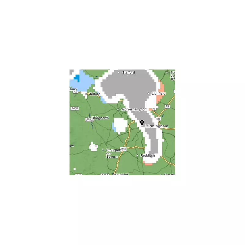
The Met Office has issued a precise forecast indicating that Birmingham is set for a wintry blast this weekend, with snow flurries predicted for Sunday evening.
Weekend Weather Takes a Frosty Turn
While Saturday and Sunday are expected to be bright and sunny, a severe cold snap will follow swiftly after sunset. The national forecaster warns that temperatures will plummet below freezing overnight, leading to widespread frost and potentially hazardous icy patches across the city.
Timing of the Expected Snow
According to the latest Met Office predictions, Brummies should prepare for the arrival of wintry precipitation around 6pm on Sunday, January 4. The forecast indicates an increasing chance of sleet or snow flurries later in the day.

For Saturday, residents can expect a frosty start giving way to a bright and crisp day with plenty of sunshine. However, it will feel very cold, especially in a brisk northwesterly breeze, with a maximum temperature of just 3°C.
Sub-Zero Overnight Temperatures
The real chill sets in after dark. Tonight, skies will clear but this will allow a severe frost to develop, with temperatures potentially dropping as low as -5°C in some areas.
Sunday will begin very cold and frosty before another largely dry day with winter sunshine. The maximum temperature is again forecast to be around 3°C. The key change comes in the evening with the anticipated arrival of the sleet and snow showers.
The Met Office advises the public to be prepared for the sudden drop in temperature and the associated risks of ice on untreated surfaces following the weekend's sunshine.