A fierce winter storm has unleashed snow and gales across the West Midlands, causing significant disruption for commuters and forcing schools to close.
Snow Bomb Descends on Region
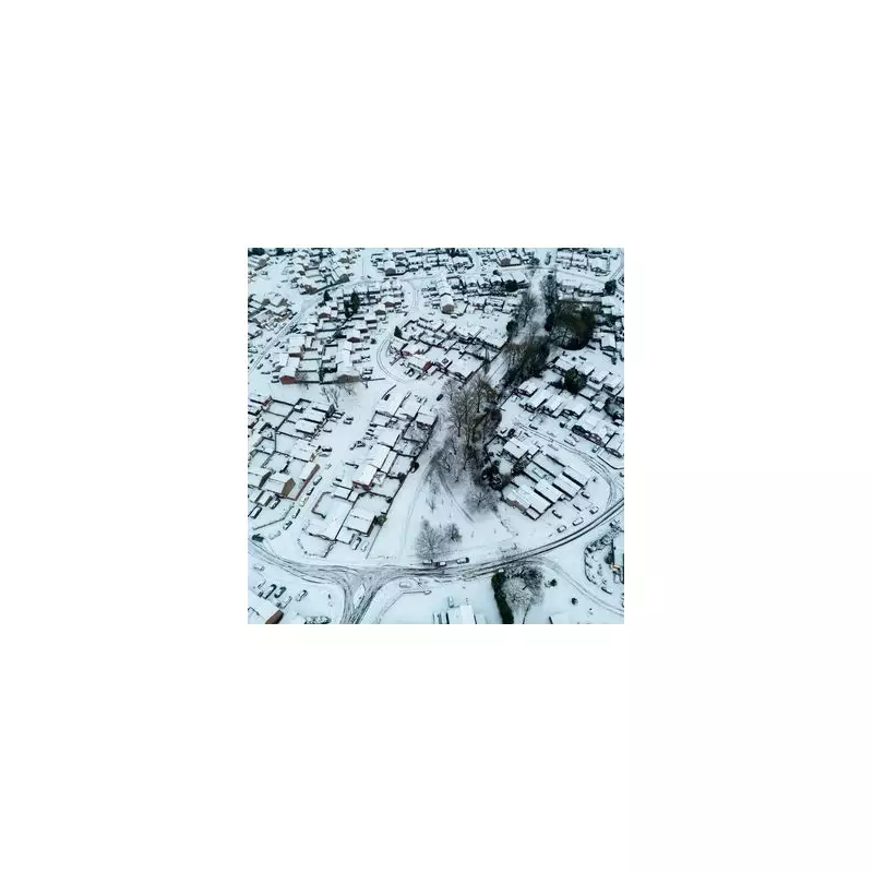
Storm Goretti, which swept in from mainland Europe, battered Birmingham and the Black Country overnight on Thursday, January 8 into Friday, January 9, 2026. The system deposited a blanket of snow across the region, leading to treacherous conditions on Friday morning.
The Met Office had previously issued an amber alert for snow, which was in effect throughout Thursday. However, as the immediate snowfall eased, the focus shifted to the ongoing hazards. The warning was revised down to a yellow ice alert, valid from 12pm on Friday, January 9, until Saturday, January 10.

Widespread Disruption and Closures
The sudden onset of wintry weather spelled chaos for the Friday morning rush hour. Numerous roads became hazardous, and public transport faced delays and cancellations. The disruption was so severe that a significant number of schools and other institutions across Birmingham and the wider West Midlands made the decision to shut their doors for the day.
Residents awoke to snow-covered streets, with areas like Kings Heath transformed into a winter scene. The high winds accompanying the storm compounded the problems, causing drifting and reducing visibility.
Ongoing Ice Risk and Further Wintry Showers
The Met Office has warned that the danger is far from over. Their forecast explains that any snow which partially thaws during Friday is likely to refreeze overnight as temperatures plummet below zero. This creates a widespread risk of ice on untreated surfaces.
Furthermore, the forecast indicates that wintry showers may continue to feed into parts of the West Midlands at times, potentially adding to the ice risk if they fall onto frozen ground. An additional hazard comes from the likelihood of freezing fog patches forming in places.
The combination of ice, potential further sleet or snow, and freezing fog means travel conditions are expected to remain difficult into the weekend, with pedestrians and drivers urged to exercise extreme caution.