The Met Office and BBC Weather have officially responded to growing speculation about a potential Beast from the East weather phenomenon hitting the United Kingdom within days. This comes after rival forecasters from WX Charts suggested that such an event could materialise, sparking concerns among the public and media alike.
Forecasters Weigh In on Potential Cold Snap
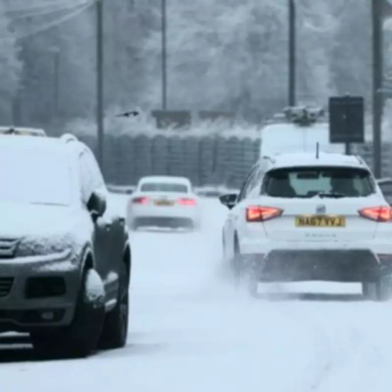
Recent projections from alternative weather services have been given further credence by Netweather TV forecasters, who indicated that a Sudden Stratospheric Warming (SSW) event could occur. An SSW is a critical meteorological condition that creates the necessary circumstances to trigger the Beast from the East phenomenon, which last impacted the UK in 2018, causing widespread disruption and severe winter conditions.
Met Office's Detailed February Forecast
In response to the speculation, the Met Office has issued two comprehensive forecasts for February. The first forecast outlines that cyclonic patterns are expected to dominate across the UK during mid-February. Frontal systems over the Atlantic are likely to approach the UK at times, becoming slow-moving as they encounter a blocking area of high pressure to the northeast.

This meteorological setup will result in:
- Showers or longer spells of rain spreading across the UK, with some periods of heavy rainfall.
- Highest rainfall amounts anticipated in western parts, including areas already sensitive to flooding.
- Potential for snow across northern England and Scotland, mainly over high ground, as rain bands spread northwards.
- Strong winds developing in places, particularly along coastal regions.
- Temperatures close to normal overall, with any colder conditions more likely in the north.
Additional Meteorological Insights
The second Met Office forecast adds that changeable conditions are expected across the UK during this period. Low pressure systems will probably dominate, leading to:
- Showers or longer spells of rain, heavy at times, for much of the UK.
- Some hill snow in northern regions.
- Periods of strong wind, especially around coasts.
- Temperatures likely to be close to average or slightly above overall.
BBC Weather's Short-Term Outlook
Complementing the Met Office's analysis, BBC Weather has provided a short-term forecast for the coming days. It notes that the blocked atmospheric setup will mean somewhat colder air across northern parts of the UK. Temperatures in Scotland are expected to average a little below normal, and on Friday, chillier air could temporarily become more widespread.
This colder air means that:
- The leading edge of any precipitation bands could fall as snow over higher ground, mainly in northern England, north Wales, Scotland, and Northern Ireland.
- Even in the absence of organised rain, there will be some wintry showers scattered around.
- Higher elevations and eastern coasts, especially in Scotland, will experience a sharp wind chill at times.
While the forecasts indicate potential for wintry conditions, both the Met Office and BBC Weather emphasise that temperatures are expected to remain close to seasonal norms overall, with any significant cold spells more confined to northern areas. The agencies continue to monitor the situation closely, providing updates as new data becomes available.