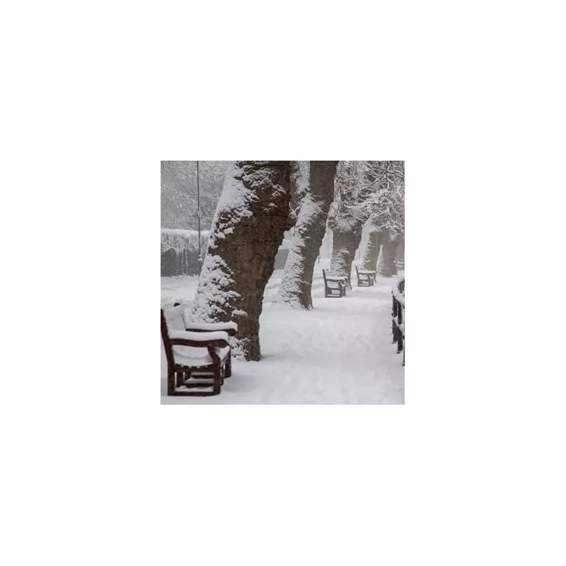
The UK is preparing for a significant pre-Christmas weather event, with forecasters predicting a colossal 250-mile wall of snow. According to the latest data from WX Charts, the wintry conditions are set to dramatically worsen, with a precise date now announced for when the snow will reach England.
Snow Maps Turn White and Purple
Detailed charts from the forecasting agency illustrate an extensive band of snowfall stretching all the way from Yorkshire up through Scotland. The weather maps are dominated by swathes of white, grey, and purple, colours which signify impending snow and heavy rain. The visualisations indicate that the Midlands, the entire north of England, and Scotland will be practically covered by this wintry system.
The snow is expected to make landfall across the Home Nations from December 21. The predicted span of the weather front is a staggering 250 miles, suggesting widespread disruption. The area forecast to be affected runs from the northern parts of the Midlands right up to Scotland.
Short-Term Rain and a Stuck Front
In the immediate term, the UK continues to contend with persistent rainfall. Jo Farrow from Netweather TV explained the current situation is due to a frontal boundary caught between high pressure over mainland Europe and an active Atlantic weather system. "The same frontal rain band which brought the wet weather at the weekend is still with us and it is rather stuck," Farrow noted.
This band has brought significant rain to regions including Yorkshire, the Peak District, Yorkshire Dales, Merseyside, and much of Wales, Cornwall, and the Moors of Devon. Conditions are drier and brighter on either side of this band, with temperatures in the southeast remaining mild at 9-10°C, while areas to the northwest are colder at 4-5°C.
Christmas Outlook: Drier but Not a White Christmas
Looking ahead to the festive period, the BBC Weather team suggests a trend towards less unsettled conditions is most likely. The forecast indicates longer spells of drier and calmer weather as high pressure is expected to build from Scandinavia towards the UK.
However, Atlantic frontal systems may still attempt to push eastwards, meaning it is unlikely to be completely dry. Precipitation amounts, though, are predicted to be lower than average or near seasonal levels at most. Western regions remain most susceptible to any wetter spells.
Regarding temperatures, the BBC team stated: "There is no particularly cold weather on the cards. Temperatures should come down a bit but should average out higher than the December normal." The high pressure could lead to frosty and foggy nights. Crucially for festive hopes, any significant snow is expected to be confined to higher elevations in Scotland, making a widespread white Christmas unlikely for most of the population, with frost being the more probable wintry feature.


