Britain is set for a dramatic and icy end to the year, with weather charts predicting the return of the infamous 'Beast from the East' bringing snow and a severe freeze for New Year's Eve.
Arctic Blast Set to Replace Mild Christmas Spell
The forecast marks a stark shift from the relatively mild conditions seen in the run-up to Christmas, where temperatures in north Wales and the Midlands climbed above 12C. However, a surge of frigid air originating from Scandinavia is now poised to sweep across the UK, heralding a significant temperature drop just in time for the year's end.
According to detailed analysis from forecasters at Metdesk, this arctic incursion will make itself felt most acutely on and around December 31. The combination of cold air and brutal easterly winds will create a harsh wind chill, making temperatures feel significantly colder than the actual readings on thermometers.

Where and When to Expect Snow and Freezing Conditions
The most severe conditions are expected across eastern parts of England. Weather maps indicate that temperatures could feel as icy as -6C in swathes of East England and the Home Counties, including areas like Buckinghamshire and Bedfordshire.
Furthermore, Metdesk charts show a band of snow stretching along the eastern coastline from Aberdeenshire in the north down to Suffolk in the south on New Year's Eve night. The most significant snowfall is predicted for East Yorkshire and Humberside. Similar bone-chilling conditions will also grip parts of Northeast England, such as County Durham, during the evening celebrations.
The Met Office forecast supports this outlook, stating: "Cloud breaking through the Christmas period with more sunny spells emerging. Largely dry, but also feeling cold with a notable wind chill across England and Wales. Frosty by night."
Rainfall, Flood Warnings and a Nationwide Chill
While the eastern regions brace for snow, other parts of the country will face different challenges. Further west, including the Midlands, rainfall is anticipated instead of snow on New Year's Eve. This follows a period of already wet weather, with over 20mm of rainfall recorded on the Isles of Scilly recently and heavy downpours in Cumbria.
Consequently, numerous flood warnings and alerts remain active over the Christmas period, with the majority concentrated across Southwest England. Specific concerns about groundwater flooding persist for the Hooke in Dorset and for Curry Moor and Hay Moor in Somerset.
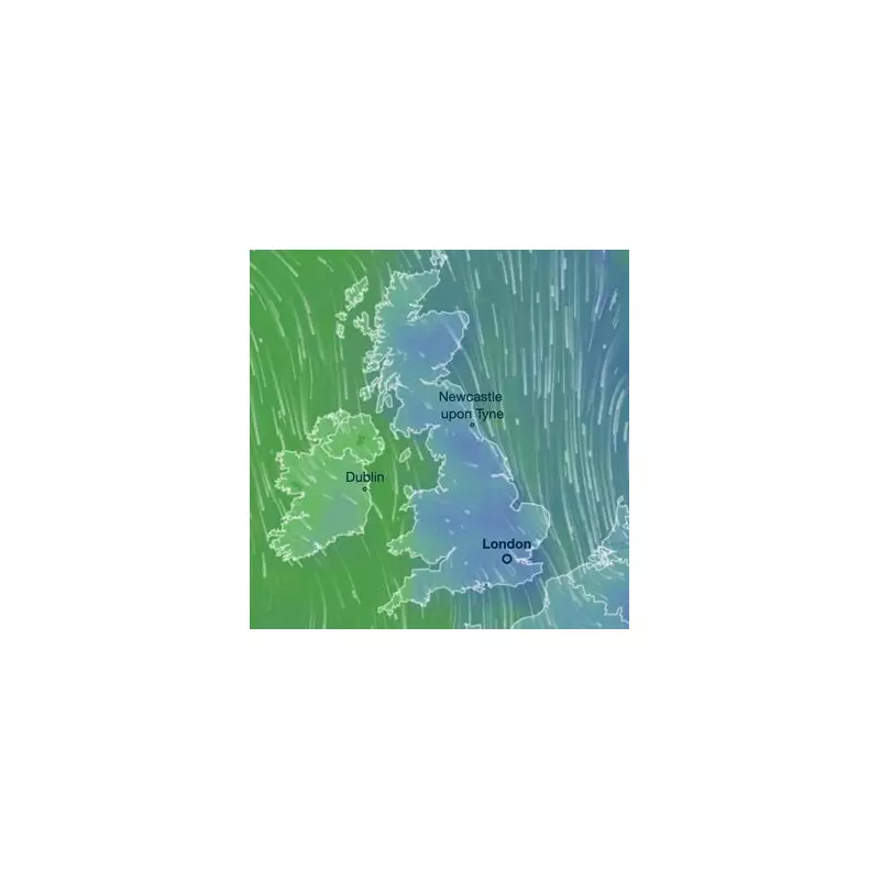
The BBC indicates that the colder trend will begin in the days immediately following Christmas, with Friday and Saturday expected to be dry, chilly, and settled. A deep blue shade on another Metdesk chart, indicating intense cold, covers the UK, with the most severe colours focused on the south and east.
As revellers make their plans to welcome 2026, they are advised to prepare for a notably cold and potentially disruptive turn in the weather, wrapping up warm and staying informed on the latest travel and safety updates.