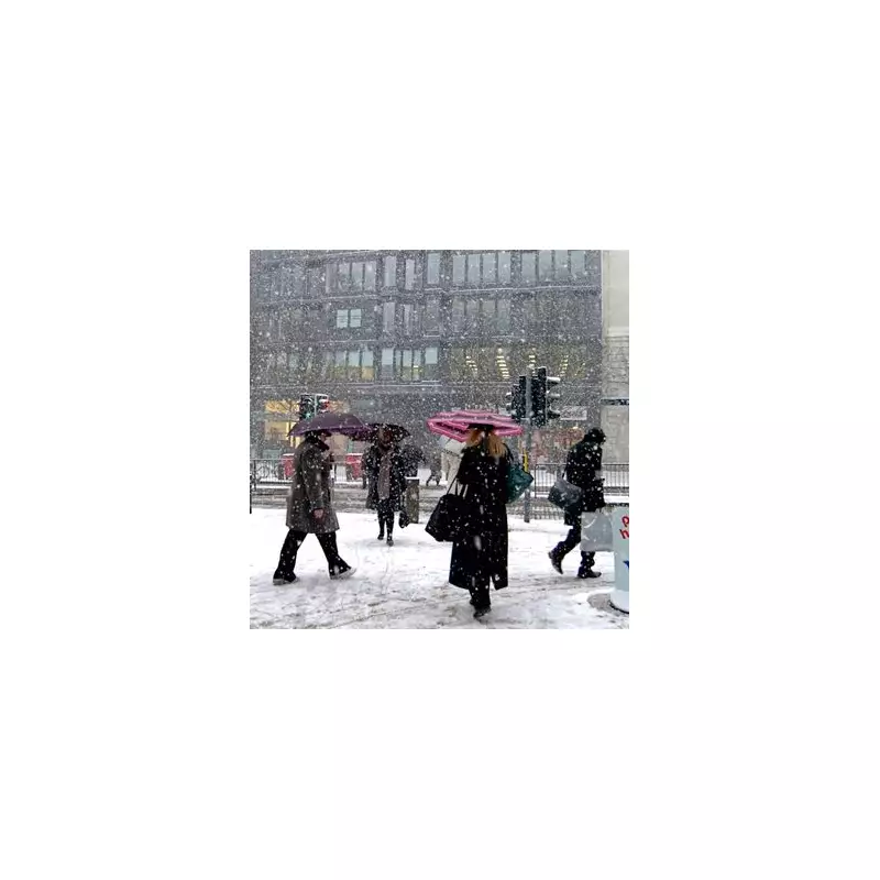
Fresh weather projections indicate that parts of England are set for a sharp, wintry turn in early January, with five counties potentially blanketed by snow for up to six hours.
Snow Timeline: From Scotland to Northern England
According to the latest WXCharts data, sourced from ECMWF HRES models via MetDesk, a band of wintry precipitation will develop across the UK on Sunday, January 4. Initially, snowfall is expected to affect Scotland, including north-west, west, central, and eastern regions, while southern and western parts see rain.
The focus then shifts southwards overnight. The key period for England arrives in the early hours of Monday, January 5. Forecasts suggest snow will begin near Stoke-on-Trent around midnight, before spreading northwards.
Targeted Counties and Short-Lived Impact
By 6am on Monday, January 5, the weather maps predict snowfall accumulating across five specific counties in northern England. The areas highlighted for the most significant wintry conditions are:
- Greater Manchester
- Lancashire
- Cumbria
- West Yorkshire
- Cheshire
This wintry spell is expected to be relatively brief. The projections indicate the snow in England will melt away by approximately 12pm (midday) on January 5, with drier conditions following. Experts note this is likely to be a patchy and localised event, rather than a widespread or prolonged snowfall.
Colder-Than-Average Start to 2026
The broader outlook supports a chillier beginning to the new year. The BBC Weather forecast suggests high pressure is likely to drift westwards, maintaining a cold north-easterly or north-westerly airflow. This pattern would bring occasional wintry showers, particularly to northern and exposed areas.
The Met Office outlook for the period from Saturday, December 27 to Monday, January 5 also points to settled, dry conditions for many, but with temperatures close to or slightly below the seasonal average. They caution that while high pressure is dominant, there remains a small chance of more unsettled, milder weather developing, especially in the north.
Forecasters agree that a colder-than-average start to January is more probable than a return to mild weather, though significant uncertainty remains over the duration of the chill.


