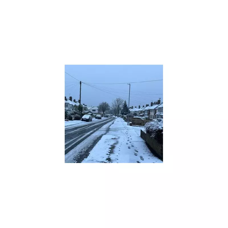
Fresh weather maps are forecasting a wintry start to the new year, with a significant six-hour snowfall predicted to blanket huge parts of England in early January 2026.
Snow Timeline and Affected Regions
According to detailed projections from WXCharts, the wintry conditions are set to develop on Sunday, January 4, 2026. The precipitation is expected to linger right through into the early hours of Monday, January 5.
From 6pm on Sunday, January 4, most of the UK will see some form of precipitation, with snow initially predicted to fall across Scotland. The focus then shifts southwards overnight.

By 6am on Monday, January 5, the snowfall is forecast to move over northern England. Key areas highlighted for accumulations include:
- Greater Manchester
- Lancashire
- Cumbria
- West Yorkshire
- Cheshire
Furthermore, around 2am on January 5, districts close to Stoke-on-Trent are also expected to be impacted by the wintry blast.
Short-Lived Blanket with Rapid Thaw
Residents should not expect a prolonged deep freeze from this particular weather event. The same weather models indicate that the snow covering England will then begin to melt rapidly.
By 12pm (midday) on Monday, January 5, the maps forecast a thaw, suggesting the snowy conditions will be relatively brief.
Met Office's Broader Outlook
This specific snow event contrasts with the broader national picture provided by the Met Office. Their outlook for the period from Saturday, December 27, 2025, to Monday, January 5, 2026, suggests high pressure will dominate as the year turns.
This generally means settled and largely dry conditions for many parts of the country, often with considerable cloud but only light rainfall where it does occur. Temperatures are expected to be close to or slightly below normal with light winds.
The forecast for the first week of January 2026 anticipates little change for most, with the settled weather continuing. However, the Met Office does note a small chance of more unsettled, wetter, and milder spells developing at times, particularly in the north, which could align with the snow event shown on independent maps.