New weather data has pinpointed the precise date when the first significant snowfall of 2026 is expected to blanket parts of the UK, heralding a sharp plunge into sub-zero temperatures.
Arctic Air Mass Set to Bring Wintry Start to New Year
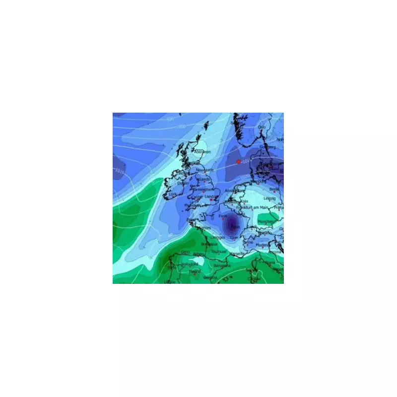
While the Met Office continues to evaluate the prospects for a white Christmas, analysis from WXCharts indicates a severe cold snap will grip the nation immediately after the New Year's festivities. This shift towards arctic conditions is predicted to deliver wintry showers and biting winds across the British Isles.
According to the detailed maps, a band of snow is forecast to sweep across central and north-west Scotland precisely at midnight on 2 January 2026. Meteorologists suggest the hardest-hit regions could witness accumulations of up to 4cm as the New Year begins with a dramatic temperature drop and a mass of frigid air establishing itself over the country.

Widespread Freeze with Surprising Cold Spots
The forecast shows mercury levels are set to dive significantly nationwide. Some of the most intense cold is surprisingly expected in south-west England, with parts of Plymouth bracing for lows of -3°C. Much of Wales and London are also predicted to face a harsh -2°C freeze, ensuring a chilly start to January for millions.
In the Midlands and central Scotland, overnight temperatures are likely to fall to around -1°C, creating widespread frost and icy conditions for those returning from the New Year bank holiday. This extensive freeze is driven by a broader weather pattern that will see high pressure build to the north of the UK, pulling in colder air from the east.
Official Forecast Warns of Bitter Conditions
The Met Office's long-range forecast for the period from 26 December to 4 January corroborates the arrival of "below average" temperatures. While their official updates are typically more cautious regarding specific snow depths, they have issued warnings about strengthening easterly and northeasterly winds. These gusts will create a significant wind-chill effect, making it feel considerably colder than the actual air temperature.
Forecasters note that although high pressure will keep many areas dry, some "wintry" showers remain possible, particularly across eastern and southern parts of the UK and over higher ground. This signals a transition from the festive period into a colder and much windier start to 2026.
Residents are strongly advised to monitor local forecasts closely as the trajectory of the arctic air mass becomes clearer in the coming days. The combined threat of ice on roads and a pronounced wind-chill factor means anyone planning travel in the first week of January should prepare for demanding winter conditions.