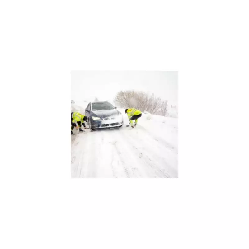
The UK is set to be hit by a second major winter storm within days, with new weather data predicting a significant 'snow bomb' will blanket large parts of the country. Birmingham is among the areas facing the most severe disruption, with advanced modelling indicating accumulations of up to 27 centimetres (10.6 inches) on higher ground.
Widespread Snow Alert for 39 Counties
Fresh weather maps from WX Charts, which utilise Met Desk data, show a severe Arctic blast is poised to strike the UK next week. The system is forecast to bring substantial snowfall to a vast swathe of England, with 39 counties currently on alert.
The snow is expected to start settling in drifts from Wednesday, January 7, with the most intense accumulations predicted for the afternoon of Thursday, January 8. The affected regions span from the South East to the North West, including:

- Bedfordshire, Berkshire, Buckinghamshire
- Cheshire, Cumbria, Derbyshire, Durham
- Essex, Gloucestershire, Greater London, Greater Manchester
- Herefordshire, Hertfordshire, Kent, Lancashire
- Lincolnshire, Norfolk, Northamptonshire, Northumberland
- Nottinghamshire, Oxfordshire, Shropshire, Staffordshire
- Suffolk, Surrey, Sussex, Tyne and Wear, Yorkshire
The entire West Midlands region, encompassing Birmingham, Warwickshire, the West Midlands conurbation, and Worcestershire, is also at high risk.
Brutal Arctic Blast Brings Sub-Zero Temperatures
Alongside the heavy snow, the nation must prepare for a dangerous drop in temperatures. Charts indicate a brutal Arctic air mass will grip the UK, with minimum temperatures in the early hours of Saturday, January 10, forecast to fall far below freezing.
Inland areas of Scotland and northern England could see temperatures plunge to between -7°C and -12°C. The combination of snow, severe frost, and strong northerly winds will make it feel exceptionally cold, posing significant risks to health and travel.
The latest ECMWF models suggest that by January 10, large swathes of the UK will be under snow, with the worst-hit areas potentially seeing accumulations of up to 42cm (approximately 16 inches).
Expert Warns of Prolonged Cold Spell
Jim Dale, Senior Meteorologist at British Weather Services, confirmed the severity of the incoming weather. "It certainly looks like we are in for a taste of ‘winter’ as we welcome in the New Year," he stated.
"Arctic air and strong northerly winds will bring cold or very cold conditions to all parts of the UK, and it will feel especially cold in the strong winds. Widespread and locally severe frosts are expected, along with the first snow of the winter for many."
Mr Dale emphasised that this cold spell is likely to last through at least the first full week of January 2026. He urged the public to stay informed, saying, "It’s important people keep up to date with the latest forecast and warnings."
Residents across the alerted counties are advised to prepare for significant travel disruption, check on vulnerable neighbours, and monitor official updates from the Met Office and local authorities as the severe weather front approaches.