A potent winter weather system, dubbed a 'snow bomb', could end a four-decade-long atmospheric pressure record in the UK, according to meteorologists. The nation is bracing for a significant cold snap driven by a freak dome of high pressure funnelling freezing Arctic air across the country.
Met Office Scenarios: Deep Freeze or Milder Spell
Met Office meteorologist Aidan McGivern outlined two potential scenarios for the coming weeks. He explained that models show high pressure will dominate to the north through to the start of 2026. If this high pressure shifts to the west of the UK, it will open the door to a northerly flow. This would usher in significantly colder weather, with Arctic winds bringing sleet and snow showers, particularly to northern and northeastern regions.
"But another scenario is for high pressure to sit to the south of the UK," Mr McGivern noted. In this case, winds from the west would be much less cold, potentially allowing temperatures to reach 9C, 10C or 11C in places.

Record-Breaking Pressure and Wintry Hazards
The intensity of the incoming high-pressure system could be historically significant. McGivern indicated there is a chance pressure readings could reach between 1045 and 1050 millibars, which is unusually high for this time of year. This could push readings to their highest level in this part of the world for over 40 years, with some weather stations likely to break their December high-pressure records.
The Met Office's longer-range forecast suggests high pressure will likely be centred west or northwest over the North Atlantic in the coming week, with low pressure to the east. It states: "With cold air close to the UK, some wintry hazards are possible in places." Into January, more settled but colder and drier than average conditions are most probable, though periods of rain, showers, and windier spells are still expected.
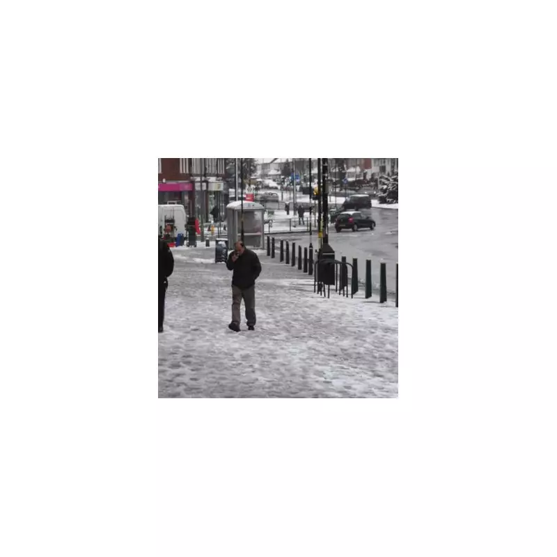
Snow Forecast for All Home Nations
The cold air is expected to become firmly established, increasing the risk of snow. Jim Dale, meteorologist for British Weather Services and co-author of ‘Surviving Extreme Weather’, said: "As we go through the end of the year and the start of January, there is a growing risk of a significant cold snap."
He added that this cold spell is overdue after a milder-than-usual December and that the cold air, once in place, is unlikely to shift for a couple of weeks. "All it would take is moisture from the west to arrive into that cold air for snow," he warned. Supporting this, weather maps from WX Charts, using Met Desk data, are forecasting snow across all four Home Nations from January 3 onwards.
In the immediate outlook, temperatures on Saturday are expected to be a little higher before turning colder in Scotland. Lighter winds will allow frosts to form, with some areas likely to stay below freezing all day. By Monday, colder weather looks set to move into the north.