
Major Snow Event Set to Envelop Most of England
A significant winter weather system, often termed a 'snow bomb', is forecast to impact a vast portion of the United Kingdom in the coming weeks. According to detailed meteorological projections from WX Charts, which utilises data from Met Desk, approximately 90% of England is expected to be covered in snow, transforming the landscape into a bright white expanse.
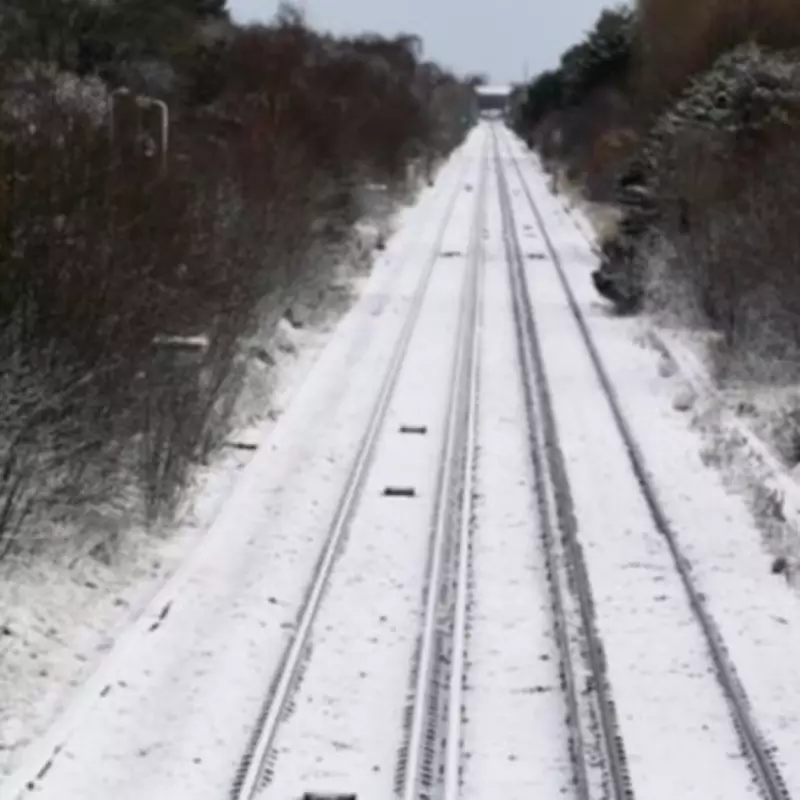
Regions Facing the Brunt of the Snowfall
The forecast indicates that the following regions will experience the most substantial snowfall:
- The East Midlands
- The West Midlands
- East Anglia
- The South West
- The North West
- The North East
Scotland is predicted to bear the worst of the conditions, with parts of Moray and the Highlands potentially receiving up to 14 centimetres of snow. Surrounding areas in Scotland could see accumulations of up to 12cm.

The Counties Expected to Be Spared
In contrast to the widespread coverage, the South East of England is largely expected to miss the heaviest snow. A specific list of 11 counties is forecast to be spared from the significant blanket of snow. These include:
- Essex
- Kent
- Greater London
- Surrey
- Dorset
- Hampshire
- Berkshire
- Hertfordshire
- Bedfordshire
- Northamptonshire
- Buckinghamshire
Detailed Weather Outlook from the BBC
The BBC Weather forecast for the period from Tuesday 10th to Sunday 15th February describes an unsettled pattern with a turn towards colder conditions. A complex low-pressure system is expected to move out of the UK into continental Europe, while high pressure builds to the north and north-west.
This shift will cause winds to turn easterly, then north-easterly to north-westerly by Friday, ushering in a colder air mass. Temperatures are predicted to drop below average, even briefly across southern England.
Wednesday and Thursday will remain unsettled with bands of rain or showers. As the colder air moves southwards, snow showers are expected over higher elevations in Scotland by late Thursday, with sleet and snow likely developing over the hills and mountains of Northern Ireland, Wales, and northern England.
The forecast notes that as a front clears southwards, there is a potential for temporary wintry conditions over the hills of the Midlands and southern England. Sleet and snow showers may also affect windward coasts elsewhere.
By Saturday, most areas should become drier and clearer, leading to sharp frosts in some locations. However, a new frontal system approaching from the Atlantic on Sunday is expected to bring milder air and rain, preceded by sleet and snow over higher ground, particularly in the northern half of the UK.
This impending weather event underscores the variable and often severe nature of British winter conditions, with significant implications for travel and daily life across the affected regions.


