
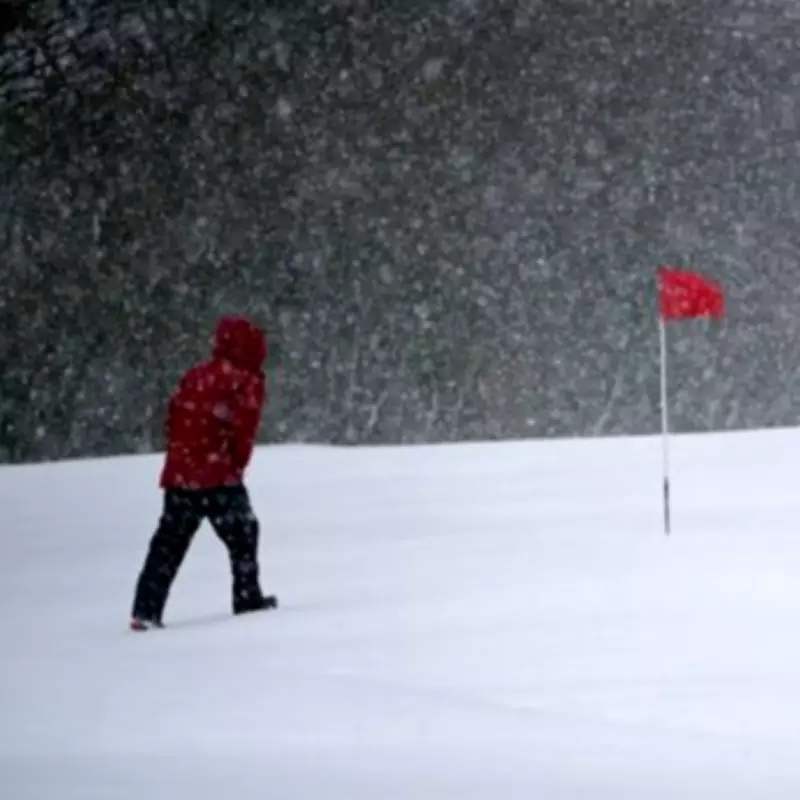
UK Braces for Major Snow Event: Up to 61cm Forecast for Late February
New weather maps have identified a significant snow event heading for the United Kingdom, with forecasts suggesting it could be even more extreme than recent flurries. The system, often referred to as a 'snow bomb', is predicted to bring heavy snowfall and potential blizzard conditions to large parts of the country in just a few weeks' time.
Forecast Details and Expected Impact
According to data from WX Charts, which utilises Met Desk information, this substantial snow event is scheduled to arrive on February 20. The snowfall is expected to develop during the early hours of the morning, spreading across the nation as temperatures plummet dramatically. The most severe impacts are anticipated across northern regions and higher ground, particularly in Scotland.
In the most at-risk locations, accumulations could reach a staggering 61 centimetres, potentially leaving residents snowed in. This forecast comes amid reports of lighter snow possibly affecting England from February 13, with the Met Office predicting flurries in northern and eastern areas. However, meteorologists suggest this earlier band of wintry weather will be nowhere near as extreme as the major blast expected later in the month.

Broader Weather Patterns and Outlook
The BBC Weather team has issued forecasts covering both the immediate and longer-term outlook. For the week spanning February 7 to 17, they indicate that cold air should spread southwards by the end of the week as winds potentially turn more northerly. This shift could see even southern England experiencing temperatures dropping close to seasonal averages.
Many areas may become drier during this period, though rain and hill snow could affect southern parts of the UK. Meanwhile, snow showers are likely to impact windward areas in the north, with northern Scotland particularly susceptible. Looking further ahead to the period from February 23 to March 8, the outlook suggests:
- Relatively mild and occasionally wet and windy conditions should predominate
- Milder air may reach Scotland at times
- High pressure may build, leading to a somewhat drier trend in some regions
- Low confidence in precipitation patterns at this stage
The forecast for the start of spring shows few signs of notably cold weather, with temperatures more likely to be near or slightly above average overall. However, temperatures and precipitation will heavily depend on where any potential high-pressure systems establish themselves. Further outbreaks of rain with possible hill snow in the north remain probable, where occasional chillier intrusions are most likely to occur.
This developing situation underscores the importance for residents across the UK to stay informed about weather updates and prepare for potentially disruptive conditions as winter maintains its grip on the nation.


