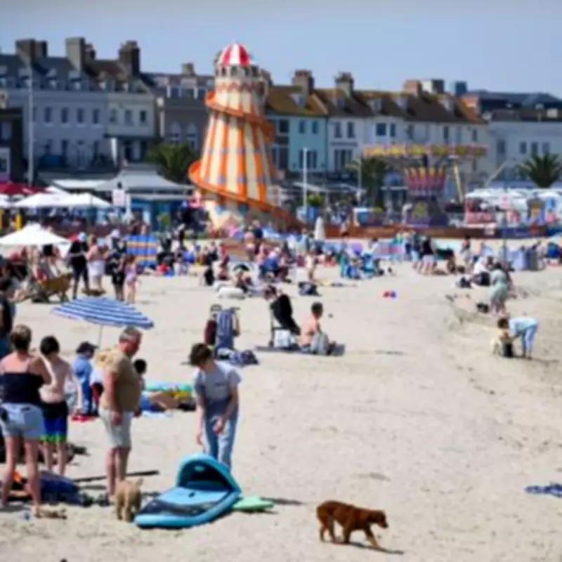
The date of the next UK heatwave has been announced, with forecasts indicating that August will be the hottest month of the summer. Netweather TV has taken an early look at what the UK summer may have in store, ahead of the returning heat.
Early Summer Forecast
Before the full summer forecast is released, forecasters at Netweather TV have examined potential weather patterns. One key factor is a developing strong El Nino, which may influence conditions. This follows a record-breaking end to May, which saw sweltering temperatures across all four Home Nations, with the 30C barrier broken multiple times.
Netweather TV Expert Analysis
Nick Finnis of Netweather TV stated: 'After a remarkably warm and dry spring, with record-breaking May temperatures, summer 2026 could continue this warm trend in the UK. Current trends indeed favour above-average temperatures throughout the season. However, rainfall patterns appear more varied.'

He added: 'June looks to start unsettled and cooler than late May, with chances of rain, but later in the month there is a signal for high pressure to return - bringing drier and warmer conditions. The signal is more muted thereafter for July, but it will likely be warm, sometimes hot, but changeable. August could be the hottest month of the summer and the driest month of the summer too.'
Heatwave Return Predicted
Mr Finnis suggested that high pressure could return during the second half of June, potentially bringing a heatwave from June 15. The Met Office forecast for June 5 to June 15 indicates changeable weather early on, with Atlantic frontal systems bringing showers or longer spells of rain, especially in the northwest, while the southeast remains driest. Strong winds may affect parts of the UK, particularly the northwest. Later in the period, higher pressure and drier weather may become more prevalent, especially in the south. Temperatures are expected to be near normal overall.