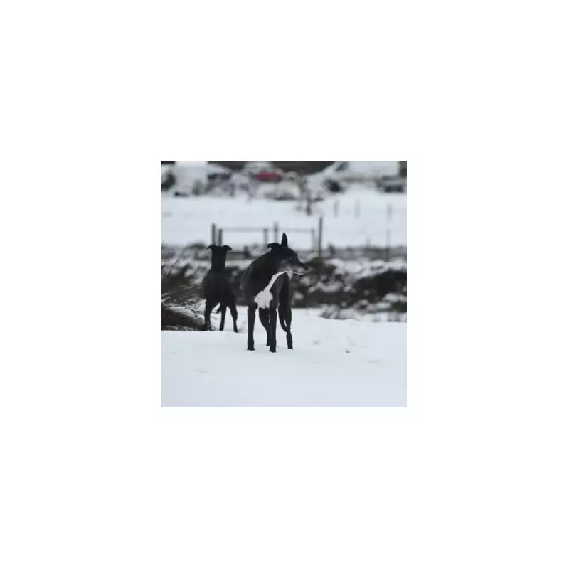
The Met Office has activated a yellow weather warning for snow and ice, urging Britons to take immediate precautions as a significant winter storm sweeps across the country.
Critical Safety Advice for Road Users
The weather alert came into force from midnight on Wednesday, November 19, 2025, and is scheduled to remain active until 11:59pm on Thursday, November 20. A mixture of amber and yellow warnings underscores the severity of the incoming conditions. In response, the Met Office has issued strict guidance for anyone planning to travel by road.
Drivers are being advised to ensure their vehicles are equipped with six essential items to enhance safety. These are: warm clothing, food and water, a torch, a warning triangle, a hi-vis vest, and de-icer. Having these items to hand is considered imperative for dealing with the hazardous wintry weather.

Forecasted Disruption and Accumulating Snow
The Met Office detailed that frequent wintry showers will feed inland from the North Sea, leading to significant snow build-ups. The areas expected to be hardest hit are the North York Moors and parts of the Yorkshire Wolds.
By the close of Thursday, hilly areas above 100 metres in elevation could see accumulations of 15-25 cm of snow. Such levels are likely to cause substantial travel disruption. The forecast also warns of gusty winds, which may create occasional blizzard conditions and pose an additional hazard with the potential for a few lightning strikes.
Expert Analysis and Regional Outlook
Meteorologist Nick Finnis from Netweather TV provided further insight, stating that rain, sleet, and hill snow affecting England and Wales would clear by Wednesday morning. He confirmed that plenty of wintry showers would then follow across northern Scotland and other coastal areas, extending down eastern and western coasts of England and Wales throughout Wednesday and Thursday.
Finnis also highlighted the possibility of a Pembrokeshire Dangler convergence zone setting up, which could organise wintry showers across SW Wales and Cornwall, bringing further localised snow.