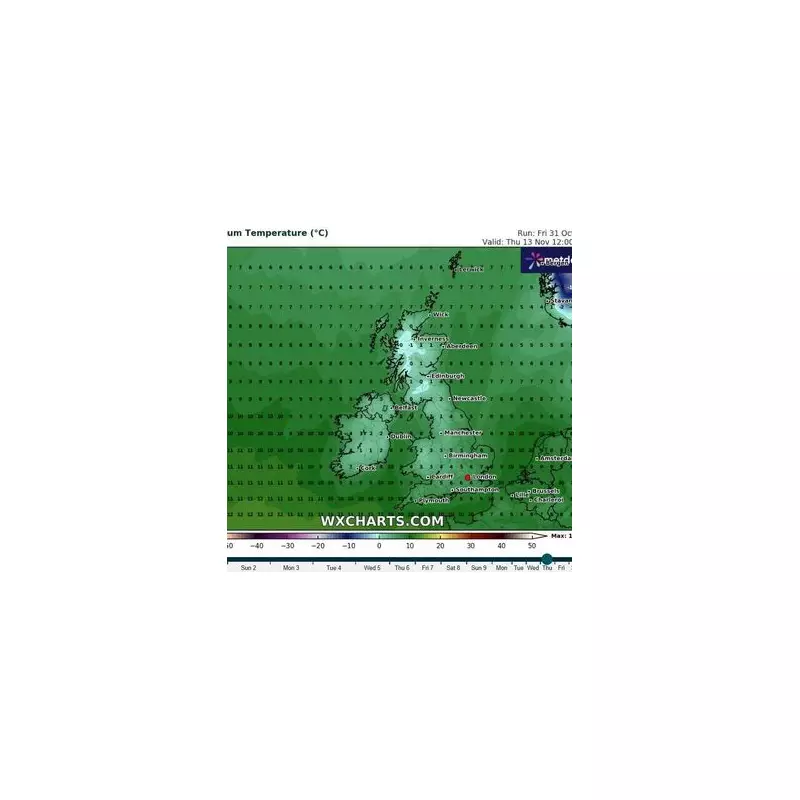
The UK is bracing for a dramatic shift in weather conditions as forecasters predict the arrival of an Arctic air mass that will send temperatures plummeting and bring potential snow to many regions.
According to meteorological data, the cold snap is expected to make landfall around January 22nd, marking the beginning of a significant temperature decline that could see mercury levels drop well below seasonal averages.
When Will the Coldest Weather Strike?
Weather maps and modelling systems indicate that Tuesday, January 23rd will likely bring the most severe conditions, with temperatures potentially falling to -3°C in some areas. The freezing conditions are expected to persist throughout much of the following week, creating challenging conditions for commuters and residents alike.
Which Regions Face the Highest Snow Risk?
While the entire country will feel the chill, certain areas are more likely to experience snowfall. Higher ground and northern regions typically bear the brunt of such Arctic incursions, though current models suggest precipitation could affect multiple parts of the UK.
What to Expect During the Cold Snap:
- Sharp temperature drops beginning around January 22nd
- Potential for snow, particularly in elevated areas
- Overnight frosts becoming widespread
- Icy conditions on untreated roads and pavements
- Disruption to travel networks possible
Meteorological experts are closely monitoring the situation as the predicted date approaches. The precise track of the weather system will determine which areas experience the most significant impacts, with updates expected as more data becomes available.
Residents are advised to prepare for the changing conditions by checking latest forecasts regularly and taking necessary precautions for cold weather, particularly if planning travel during the affected period.


