Britain is bracing for a dramatic winter onslaught as latest weather modelling reveals the precise timing of an incoming snow bomb set to blanket parts of the country. New meteorological maps indicate a significant temperature drop that will transform rain into widespread snow across northern regions and higher ground.
When the White Stuff Will Arrive
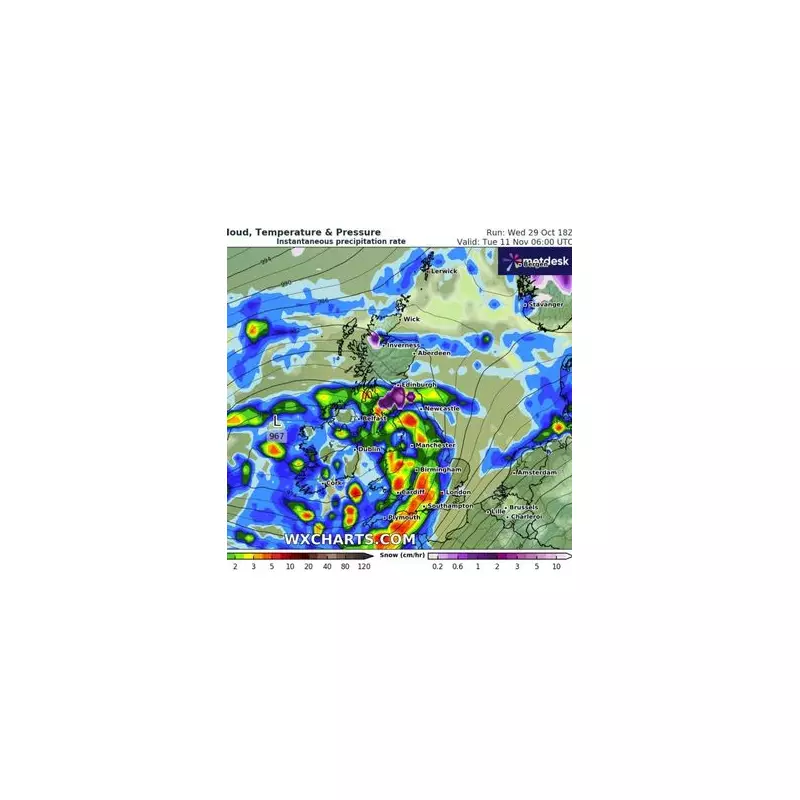
According to detailed projections from WX Charts, using data from MetDesk, the first substantial snowfall is expected to hit around January 22nd. The initial flurries will primarily affect Scotland and northern England, with accumulations becoming increasingly significant as the cold spell intensifies.
The most severe conditions are forecast between January 24th and 26th, when the freezing air mass will extend southward, potentially bringing snow to parts of the Midlands and even northern Wales. Higher elevations could see substantial build-ups, raising concerns about travel disruption and potential isolation for rural communities.

Temperature Tumble Triggers Transformation
Meteorological experts note that the transition from rain to snow will occur as temperatures plummet well below seasonal averages. The mercury is expected to drop to -4°C in some northern areas, with even southern regions experiencing near-freezing conditions overnight.
This dramatic cooling will be driven by a shift in weather patterns, drawing colder air from northern latitudes directly over the British Isles. The setup creates ideal conditions for precipitation to fall as snow rather than rain across much of the country.
Regional Impact Breakdown
- Scotland and Northern England: Heaviest snow accumulations expected, particularly over high ground like the Pennines and Scottish Highlands
- Midlands and Northern Wales: Potential for significant snowfall, especially in elevated areas
- Southern England: Mostly rain, but could see some wintry showers if cold air penetrates further south
- Coastal Areas: Milder conditions expected, but still colder than average
The exact track and intensity of weather systems will determine which areas experience the most disruptive conditions. Meteorologists are closely monitoring developments and will issue appropriate warnings as the situation evolves.
Preparation Urged as Winter Tightens Grip
Transport authorities are advising motorists to prepare for potentially hazardous driving conditions, while local councils are reviewing salt and gritting supplies in anticipation of icy roads.
Households in areas likely to be affected are recommended to check heating systems and consider emergency supplies in case of power outages or travel disruption. The elderly and vulnerable are particularly encouraged to take precautions against the cold snap.
As Britain awaits winter's full force, these latest projections serve as a stark reminder that the coldest period of the year is yet to come.