
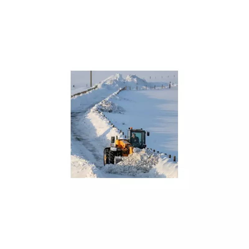
The Met Office has issued a stark warning for much of England this week, with a barrage of snow and ice alerts set to disrupt travel and daily life. However, forecasters have identified a fortunate sliver of the country that will be spared the worst of the wintry onslaught.
The Counties Escaping the Snow Bomb
While yellow and amber weather warnings for snow and ice are in force for Tuesday and Wednesday across a vast swathe of the nation, just 13 specific parts of England are predicted to avoid further significant snowfall. According to the latest forecasts, this narrow band runs from the south coast northwards.
The areas set for a relative reprieve include:

- Sussex
- Surrey
- Essex
- Hertfordshire
- Bedfordshire
- Northamptonshire (Northants)
- Nottinghamshire
- Leicestershire
- Rutland
- Huntingdonshire
- Cambridgeshire
- Buckinghamshire
- Kent
Widespread Warnings for the Rest of England
In stark contrast, the Met Office has triggered alerts for numerous other counties, highlighting the widespread nature of this cold snap. The warnings cover Tuesday and Wednesday and extend to:
Durham, Cumbria, Northumberland, Lancashire, Yorkshire, Lincolnshire, Norfolk, Suffolk, Derbyshire, Oxfordshire, Hampshire, Berkshire, the Isle of Wight, Cheshire, Cornwall, Somerset, Gloucestershire, Wiltshire, Herefordshire, Shropshire, Staffordshire, the West Midlands, Warwickshire, and Worcestershire.
Netweather expert Jo Farrow provided analysis of the evolving situation. She explained that the flow of cold air, which has been wavering between north-westerly and a true northerly, has dictated where the heaviest snow showers fall.
"In the northerly flow on Monday morning, wintry showers clipped western Wales, reaching Cornwall with plenty of snow for northern Scotland," Ms Farrow stated. "Additionally, snow blanketed NE and eastern England as a feed of showers extended from Berwick-upon-Tweed down to Norfolk."
Record-Breaking Cold Grips the Nation
The snow warnings come on the back of a night of intense cold that set new records for the winter. Marham in Norfolk recorded a low of minus 12.5C (9.5F) on Monday night, marking the coldest night there since January 2013.
This was not only the coldest night of the winter in England but also the coldest across the entire UK so far this season, according to BBC forecasters.
Ms Farrow offered one positive note amidst the freeze, highlighting the "bright, cheery sunshine" that has accompanied the deep cold. She advised, "Even if you are stuck inside, the sunshine is uplifting as long as you stay warm." However, she cautioned that more cloud is expected to move in by midweek, potentially altering conditions.
Residents in the warned areas are urged to stay updated on the latest Met Office advice, plan for travel disruption, and take necessary precautions during this period of severe winter weather.


